Waarschoot
| Waarschoot | |||
|---|---|---|---|
| Municipality | |||
|
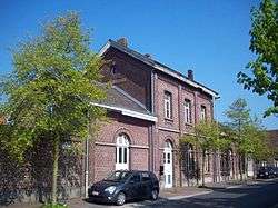
Station Waarschoot | |||
| |||
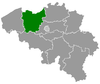
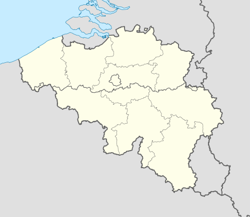 Waarschoot Location in Belgium | |||
|
Location of Waarschoot in East Flanders 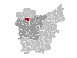 | |||
| Coordinates: 51°09′N 03°36′E / 51.150°N 3.600°ECoordinates: 51°09′N 03°36′E / 51.150°N 3.600°E | |||
| Country | Belgium | ||
| Community | Flemish Community | ||
| Region | Flemish Region | ||
| Province | East Flanders | ||
| Arrondissement | Ghent | ||
| Government | |||
| • Mayor | Ann Coopman (CD&V) | ||
| • Governing party/ies | CD&V, WGB | ||
| Area | |||
| • Total | 21.91 km2 (8.46 sq mi) | ||
| Population (1 January 2016)[1] | |||
| • Total | 7,886 | ||
| • Density | 360/km2 (930/sq mi) | ||
| Postal codes | 9950 | ||
| Area codes | 09 | ||
| Website | www.waarschoot.be | ||


Waarschoot (Dutch pronunciation: [ˈʋaːrsxoːt]) is a municipality located in the Flemish province of East Flanders, in Belgium. The municipality comprises the towns of Waarschoot proper. On January 1, 2006, Waarschoot had a total population of 7,805. The total area is 21.91 km² which gives a population density of 356 inhabitants per km².
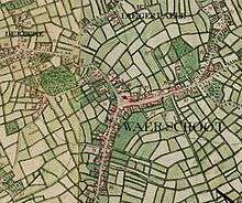
Waarschoot on the Ferraris map (around 1775)
References
- ↑ Population per municipality as of 1 January 2016 (XLS; 397 KB)
External links
 Media related to Waarschoot at Wikimedia Commons
- Official website - Only available in Dutch
- Website of the Waarschootse Gemeentebelangen (WGB) - Only available in Dutch
 |
Eeklo, Kaprijke | | ||
| Zomergem | |
Evergem | ||
| ||||
| | ||||
| Lovendegem |
This article is issued from Wikipedia - version of the 12/1/2016. The text is available under the Creative Commons Attribution/Share Alike but additional terms may apply for the media files.