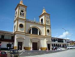
La Unión, Antioquia
Coordinates: 5°58′25″N 75°21′41″W / 5.97361°N 75.36139°W
| La Unión, Antioquia | |||
|---|---|---|---|
| Municipality and town | |||
 | |||
| |||
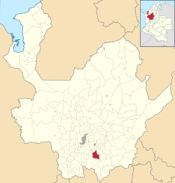 Location of the municipality and town of La Unión, Antioquia in the Antioquia Department of Colombia | |||
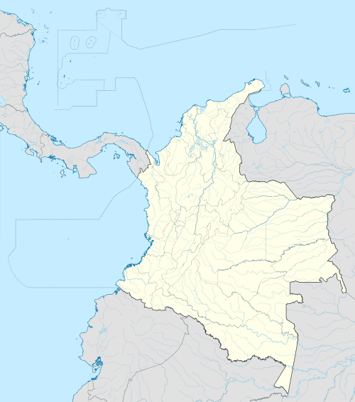 La Unión, Antioquia Location in Colombia | |||
| Coordinates: 5°58′22″N 75°21′40″W / 5.97278°N 75.36111°W | |||
| Country |
| ||
| Department |
| ||
| Subregion | Eastern | ||
| Elevation | 2,500 m (8,200 ft) | ||
| Time zone | Colombia Standard Time (UTC-5) | ||
.svg.png)

La Unión is a town and municipality in the Colombian department of Antioquia. Part of the subregion of Eastern Antioquia.
On 29 November 2016 LaMia Airlines Flight 2933 crashed in the area, killing 71 of the 77 on board.[1]
References
- ↑ "Accidente de Chapecoense: los rescatistas tienen que subir media hora por la montaña a pie". La Nación (in Spanish). 29 November 2016. Retrieved 29 November 2016..
Capital: Medellín | |||||||||||||||||||||||||||||||||||
| Regions and municipalities |
| ||||||||||||||||||||||||||||||||||
| Related topics | |||||||||||||||||||||||||||||||||||
This article is issued from Wikipedia - version of the 11/29/2016. The text is available under the Creative Commons Attribution/Share Alike but additional terms may apply for the media files.