Vigía del Fuerte
| Vigía del Fuerte | ||
|---|---|---|
| Municipality and town | ||
| ||
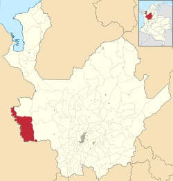 Location of the municipality and town of Vigía del Fuerte in the Antioquia Department of Colombia | ||
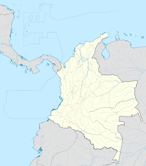 Vigía del Fuerte Location in Colombia | ||
| Coordinates: 6°36′0″N 76°54′0″W / 6.60000°N 76.90000°W | ||
| Country |
| |
| Department |
| |
| Subregion | Urabá | |
| Time zone | Colombia Standard Time (UTC-5) | |
.svg.png)
Vigía del Fuerte is a town and municipality in the Colombian department of Antioquia.
Armed conflict
As of 2013, FARC rebels of the 57th and 34th fronts Northwestern Bloc of the FARC-EP are present in the municipality. On October 11th 2013, presumed FARC rebels attacked the municipality's biggest airport, destroying an aircraft in the process.[1]
Capital: Medellín | |||||||||||||||||||||||||||||||||||
| Regions and municipalities |
| ||||||||||||||||||||||||||||||||||
| Related topics | |||||||||||||||||||||||||||||||||||
Coordinates: 6°36′N 76°54′W / 6.600°N 76.900°W
References
This article is issued from Wikipedia - version of the 8/24/2016. The text is available under the Creative Commons Attribution/Share Alike but additional terms may apply for the media files.