Lakeland, Louisiana
| Lakeland | |
| Unincorporated community | |
| Country | United States |
|---|---|
| State | Louisiana |
| Parish | Pointe Coupee |
| Elevation | 30 ft (9.1 m) |
| Coordinates | 30°36′03″N 91°23′50″W / 30.60083°N 91.39722°WCoordinates: 30°36′03″N 91°23′50″W / 30.60083°N 91.39722°W |
| Timezone | CST (UTC-6) |
| - summer (DST) | CDT (UTC-5) |
| ZIP code | 70752 |
| Area code | 225 |
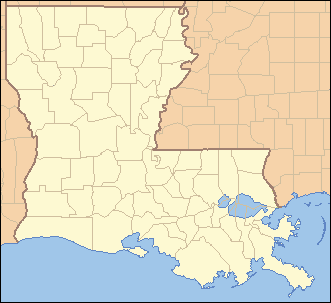 Location of Lakeland in Louisiana | |
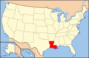 Location of Louisiana in the United States | |

Lakeland (French: Terre-du-Lac), is an unincorporated community in southeastern Pointe Coupee Parish, Louisiana (USA). The area is home to several plantation houses, such as Alma, and Poydras Plantations. The zip code assigned to this area is 70752.
Geography
There are no officially designated boundaries to the community, but the area is more or less bounded by LA-416 on the northern edge of the area, Louisiana Highway 983 on the eastern edge, Louisiana Highway 1 on the western edge, and U.S. Highway 190 on the southern edge. This area is generally referred to as Lakeland. This area is home to Immaculate Conception Catholic Church and Alma Plantation Sugar Mill. The first post office in the area was established in 1878.[1]
Education
There is one school in the area, Rougon Elementary School (formerly High School). The community was formerly home to the now defunct Lakeland Elementary School that was located on Louisiana Highway 413, south of Louisiana Highway 416.
Major roadways
See also
| Wikimedia Commons has media related to Lakeland, Louisiana. |
References
- ↑ Lockhart, John M. "Roadmap to the Westside", The Riverside Reader, January 21, 2008, p. 5
Municipalities and communities of Pointe Coupee Parish, Louisiana, United States | ||
|---|---|---|
| City | 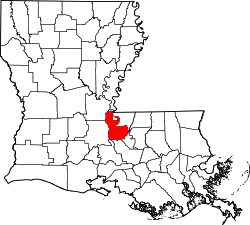 | |
| Towns | ||
| Village | ||
| CDP | ||
| Other unincorporated communities | ||
| Ghost towns | ||