Mount Iwate
| Mount Iwate | |
|---|---|
| 岩手山 | |
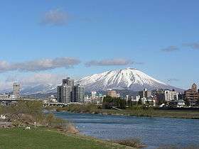 Mount Iwate from the city of Morioka | |
| Highest point | |
| Elevation | 2,038 m (6,686 ft) [1] |
| Prominence | 1,745 m (5,725 ft) [1] |
| Listing |
List of mountains and hills of Japan by height List of volcanoes in Japan Ultra |
| Coordinates | 39°51′12″N 141°00′03″E / 39.85333°N 141.00083°ECoordinates: 39°51′12″N 141°00′03″E / 39.85333°N 141.00083°E [1] |
| Geography | |
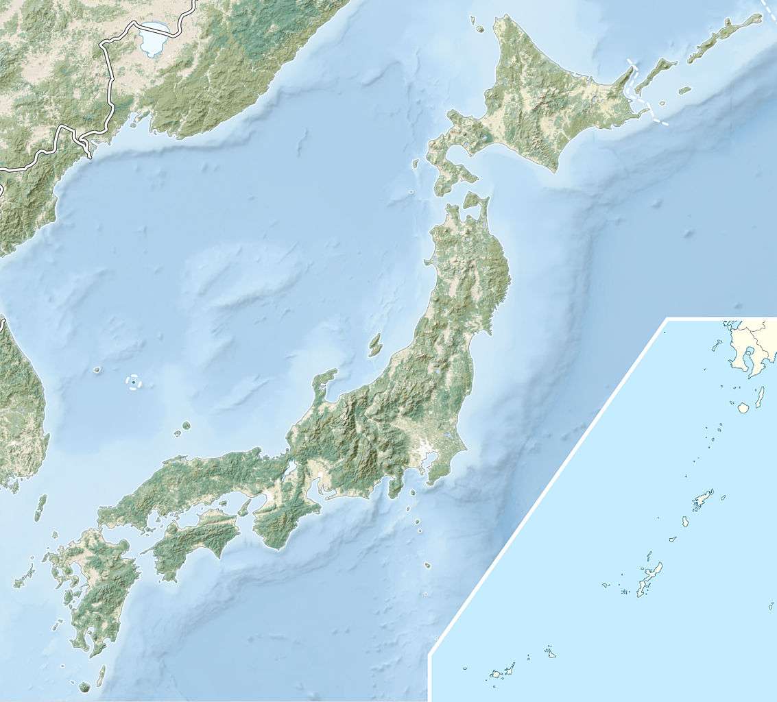 Mount Iwate Japan | |
| Location | Iwate Prefecture, Japan |
| Geology | |
| Mountain type | Stratovolcano complex |
| Last eruption | July 1919 |
Mount Iwate (岩手山 Iwate-san) is a stratovolcano complex located northwest of the city of Morioka in western Iwate Prefecture, Tohoku, Japan. The mountain is listed as one of the 100 Famous Japanese Mountains in a book composed in 1964 by mountaineer/author Kyūya Fukada.[2]
Geology
Mount Iwate consists of a younger eastern symmetrical stratovolcano (Higashi-Iwate, "East Iwate") overlapping an older western stratovolcano (Nishi-Iwate, "West Iwate") which has collapsed to form a caldera.[3]

Aerial photographs of Mount Iwate from the NNW

Relief Map
The oval-shaped, 1.8 x 3 km caldera has a central cone containing a 0.5 km wide crater, partially filled by a crater lake.
See also
References
- 1 2 3 "Japan Ultra-Prominences". Peaklist.org. Retrieved 2015-01-01.
- ↑ Hyakumeizan, Hiking Japan!
- ↑ "Iwate". Global Volcanism Program. Smithsonian Institution.
External links
| Wikimedia Commons has media related to Mount Iwate. |
- "Iwatesan: National catalogue of the active volcanoes in Japan" (PDF). - Japan Meteorological Agency
- Iwate Volcano - Geological Survey of Japan
- Iwatesan - Smithsonian Institution: Global Volcanism Program
This article is issued from Wikipedia - version of the 11/18/2016. The text is available under the Creative Commons Attribution/Share Alike but additional terms may apply for the media files.