Purple Springs
| Purple Springs | |
|---|---|
| Hamlet | |
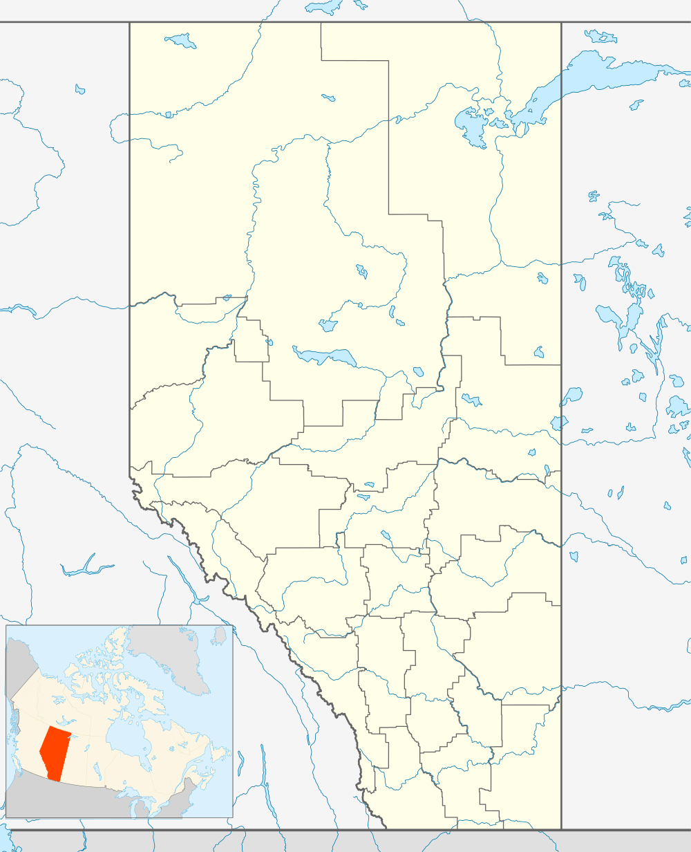 Location of Purple Springs in Alberta | |
| Coordinates: 49°48′56″N 111°53′33″W / 49.8156°N 111.8925°WCoordinates: 49°48′56″N 111°53′33″W / 49.8156°N 111.8925°W | |
| Country |
|
| Province |
|
| Census division | No. 2 |
| Municipal district | Municipal District of Taber |
| Government | |
| • Type | Unincorporated |
| • Governing body | Municipal District of Taber Council |
| Time zone | MST (UTC-7) |
Purple Springs is a hamlet in southern Alberta, Canada within the Municipal District of Taber.[1] It is located on Highway 3, approximately 17 kilometres (11 mi) east of Taber.
History
The Government of Alberta established the Purple Springs Grazing Reserve in 1957 that is located 0.8 km away from the community. The reserve is 6,684 acres (27.05 km2) and was the first irrigated grazing reserve in the province.[2]
Demographics
The Municipal District of Taber's 2016 municipal census counted a population of 44 in Purple Springs,[3] a 7.3% change from the hamlet's 2013 municipal census population of 41.[4]
See also
References
- ↑ Alberta Municipal Affairs (2010-04-01). "Specialized and Rural Municipalities and Their Communities" (PDF). Retrieved 2010-07-05.
- ↑ "Southeast Region Purple Springs". Alberta Sustainable Resource Development. January 14, 2008. Archived from the original on 2008-05-18. Retrieved 2008-06-04.
- ↑ "About Us: Population & Statistics". Municipal District of Taber. Retrieved October 8, 2016.
- ↑ "MD Connection (newsletter): Fountain of Youth?" (PDF) (PDF). Municipal District of Taber. Summer 2013. p. 7. Retrieved August 29, 2013.
This article is issued from Wikipedia - version of the 10/8/2016. The text is available under the Creative Commons Attribution/Share Alike but additional terms may apply for the media files.