Raedersheim
| Raedersheim | ||
|---|---|---|
|
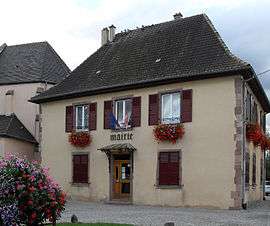
The town hall | ||
| ||
 Raedersheim | ||
|
Location within Grand Est region  Raedersheim | ||
| Coordinates: 47°53′21″N 7°16′56″E / 47.8892°N 7.2822°ECoordinates: 47°53′21″N 7°16′56″E / 47.8892°N 7.2822°E | ||
| Country | France | |
| Region | Grand Est | |
| Department | Haut-Rhin | |
| Arrondissement | Thann-Guebwiller | |
| Canton | Guebwiller | |
| Intercommunality | Région de Guebwiller | |
| Government | ||
| • Mayor (2001–2008) | Jean-Marie Reymann | |
| Area1 | 5.69 km2 (2.20 sq mi) | |
| Population (2006)2 | 1,120 | |
| • Density | 200/km2 (510/sq mi) | |
| Time zone | CET (UTC+1) | |
| • Summer (DST) | CEST (UTC+2) | |
| INSEE/Postal code | 68260 / 68190 | |
| Elevation |
219–244 m (719–801 ft) (avg. 228 m or 748 ft) | |
|
1 French Land Register data, which excludes lakes, ponds, glaciers > 1 km² (0.386 sq mi or 247 acres) and river estuaries. 2 Population without double counting: residents of multiple communes (e.g., students and military personnel) only counted once. | ||
.svg.png)
Raedersheim (German: Rädersheim) is a commune in the Haut-Rhin department in Grand Est in north-eastern France.
See also
References
| Wikimedia Commons has media related to Raedersheim. |
This article is issued from Wikipedia - version of the 11/13/2016. The text is available under the Creative Commons Attribution/Share Alike but additional terms may apply for the media files.