Saint-Amarin
| Saint-Amarin | ||
|---|---|---|
| ||
 Saint-Amarin | ||
|
Location within Grand Est region  Saint-Amarin | ||
| Coordinates: 47°52′23″N 7°01′54″E / 47.8731°N 7.0317°ECoordinates: 47°52′23″N 7°01′54″E / 47.8731°N 7.0317°E | ||
| Country | France | |
| Region | Grand Est | |
| Department | Haut-Rhin | |
| Arrondissement | Thann-Guebwiller | |
| Canton | Cernay | |
| Intercommunality | Vallée de Saint-Amarin | |
| Government | ||
| • Mayor (2001–2008) | Charles Wehrlen | |
| Area1 | 11.61 km2 (4.48 sq mi) | |
| Population (2006)2 | 2,519 | |
| • Density | 220/km2 (560/sq mi) | |
| Time zone | CET (UTC+1) | |
| • Summer (DST) | CEST (UTC+2) | |
| INSEE/Postal code | 68292 / 68550 | |
| Elevation |
393–1,347 m (1,289–4,419 ft) (avg. 420 m or 1,380 ft) | |
|
1 French Land Register data, which excludes lakes, ponds, glaciers > 1 km² (0.386 sq mi or 247 acres) and river estuaries. 2 Population without double counting: residents of multiple communes (e.g., students and military personnel) only counted once. | ||
.svg.png)
Saint-Amarin (German: Sankt Amarin) is a commune in the Haut-Rhin department in Grand Est in north-eastern France.
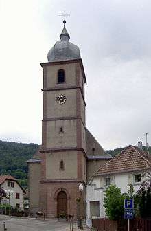
Church of Saint-Amarin
Geography
Saint-Amarin territory tops in the Storkenkopf (1366 m).[1]
See also
References
- ↑ IGN maps available on Géoportail
| Wikimedia Commons has media related to Saint-Amarin. |
This article is issued from Wikipedia - version of the 11/13/2016. The text is available under the Creative Commons Attribution/Share Alike but additional terms may apply for the media files.