Refuge, Mississippi
| Refuge, Mississippi | |
|---|---|
| Unincorporated community | |
 Refuge, Mississippi | |
| Coordinates: 33°18′13″N 91°08′11″W / 33.30361°N 91.13639°WCoordinates: 33°18′13″N 91°08′11″W / 33.30361°N 91.13639°W | |
| Country | United States |
| State | Mississippi |
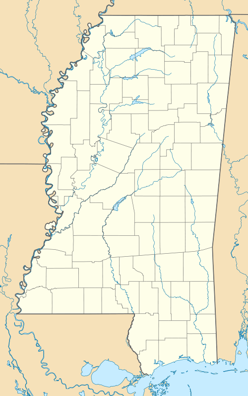
| County | Washington |
| Elevation | 125 ft (38 m) |
| Time zone | Central (CST) (UTC-6) |
| • Summer (DST) | CDT (UTC-5) |
| GNIS feature ID | 676590[1] |
Refuge is an unincorporated community located in Washington County, Mississippi, United States.[1]
Refuge Landing was located west of the settlement, directly on the Mississippi River.[2][3]
History
Francis Griffin purchased land in 1831 on a high ridge bordering the Mississippi River where he established "Refuge Plantation".[4] By 1850, Griffin had 150 slaves working on his plantation.[5] The Refuge Plantation House, shaded by oak trees and protected from the river by a levee system, was erected with a view of the river, and remains today one of the best examples of a mid-nineteenth-century plantation house in Washington County.[4]
Refuge had a post office. The population in 1900 was 30.[2]
Old Refuge Cemetery, now extinct, was located north of the settlement.[6]
Recent development
Harlow's Casino Resort opened in 2007 in Refuge.[7]
In 2010, the Greenville Bridge was opened connecting Refuge with Shives, Arkansas.[7]
References
- 1 2 "Refuge". Geographic Names Information System. United States Geological Survey.
- 1 2 Rowland, Dunbar (1907). Mississippi: Comprising Sketches of Counties, Towns, Events, Institutions, and Persons, Arranged in Cyclopedic Form. 2. Southern Historical Publishing Association. p. 534.
- ↑ Annual Report of the Mississippi River Commission for 1884. Government Printing Office. 1885. p. 140.
- 1 2 "Griffin-Spragins House" (PDF). United States Department of the Interior. January 1984.
- ↑ Griffin Halloran, Mary Helen (2009). Mississippi Family: The Griffins of Magnolia Terrace, Griffin’s Refuge, and Greenville 1800-1950. iUniverse. p. 87.
- ↑ "Old Refuge Cemetery". Geographic Names Information System. United States Geological Survey.
- 1 2 "Churchill Downs Incorporated to Acquire Harlow's Casino Resort & Hotel". Churchill Downs Incorporated. Retrieved November 12, 2016.
Municipalities and communities of Washington County, Mississippi, United States | ||
|---|---|---|
| Cities | 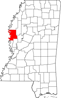 | |
| Towns | ||
| Unincorporated communities | ||
| Ghost towns | ||