Saúde (district of São Paulo)
| Saúde | |
|---|---|
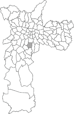 Location in the city of São Paulo | |
.jpg) Our Lady of Good Health Church | |
| Coordinates: 23°36′36″S 46°38′13″W / 23.61000°S 46.63694°WCoordinates: 23°36′36″S 46°38′13″W / 23.61000°S 46.63694°W | |
| Region | Southeast |
| State |
|
| Municipality |
|
| Administrative Zone | South-Central |
| Subprefecture | Vila Mariana |
| Government | |
| • Type | Subprefecture |
| • Subprefect | Maurício de Oliveira Pinterich |
| Area | |
| • Total | 8.90 km2 (3.44 sq mi) |
| Population (2010) | |
| • Total | 130,780 |
| • Density | 14,694/km2 (38,060/sq mi) |
| HDI | 0.942 – very high |
Saúde is a district in the city of São Paulo, Brazil.
See also
External links
![]() Media related to Saúde, São Paulo City at Wikimedia Commons
Media related to Saúde, São Paulo City at Wikimedia Commons

This article is issued from Wikipedia - version of the 11/15/2016. The text is available under the Creative Commons Attribution/Share Alike but additional terms may apply for the media files.