Amisk, Alberta
| Amisk | |
|---|---|
| Village | |
| Village of Amisk | |
 Amisk | |
| Coordinates: 52°34′0″N 111°3′39″W / 52.56667°N 111.06083°WCoordinates: 52°34′0″N 111°3′39″W / 52.56667°N 111.06083°W | |
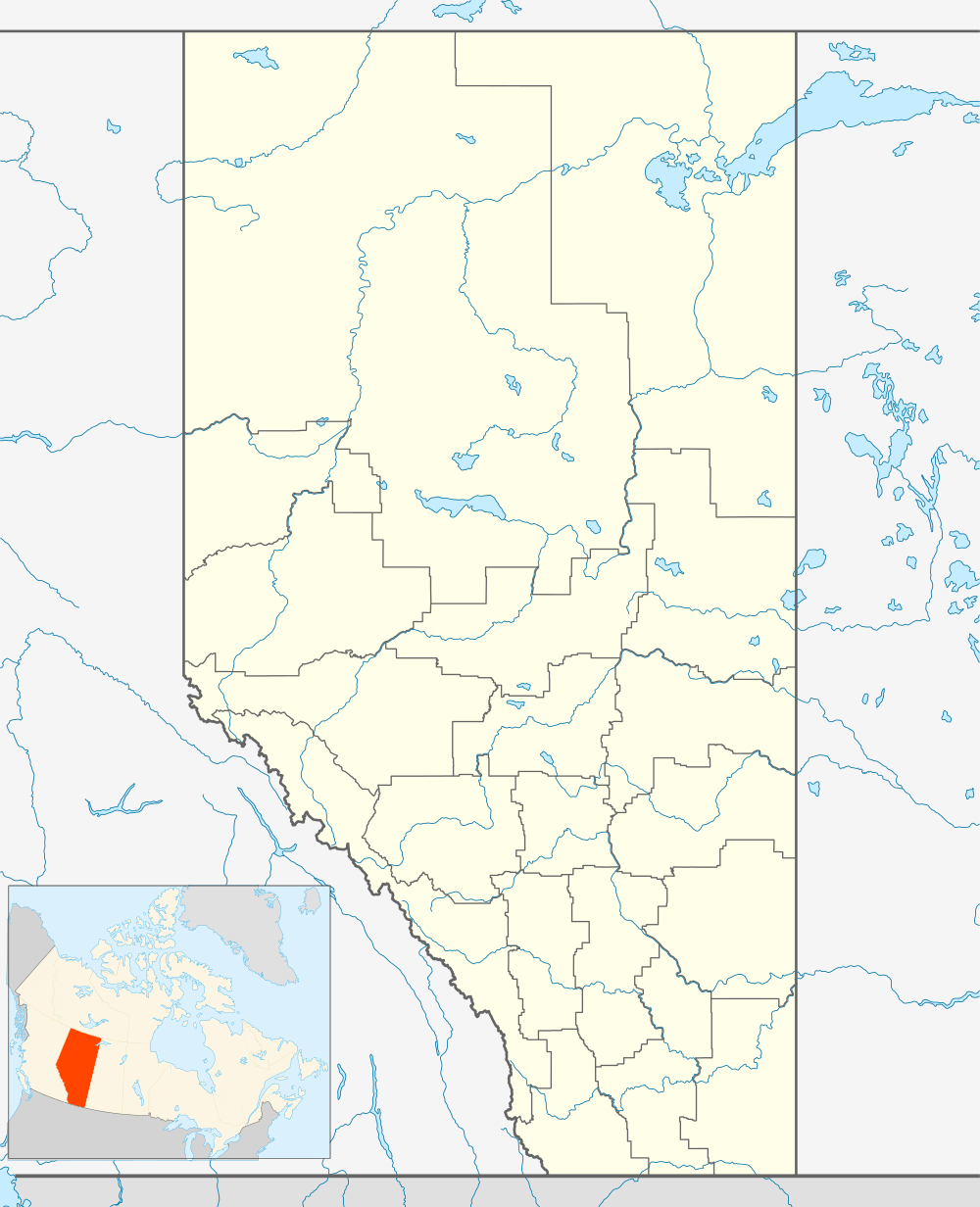
| Country |
|
| Province |
|
| Region | Central Alberta |
| Census division | 7 |
| Municipal district | Municipal District of Provost No. 52 |
| Incorporated[1] | |
| • Village | January 1, 1956 |
| Government[2] | |
| • Mayor | Mervin Anholt |
| • Governing body | Amisk Village Council |
| Area (2011)[3] | |
| • Total | 0.76 km2 (0.29 sq mi) |
| Elevation | 910 m (2,990 ft) |
| Population (2011)[3] | |
| • Total | 207 |
| • Density | 272.2/km2 (705/sq mi) |
| Time zone | MST (UTC-7) |
| Highways |
Highway 13 Highway 306 Highway 884 |
| Website | Official website |
Amisk is a village in east central Alberta, Canada.
The name comes from amisk (ᐊᒥᐢᐠ), the Cree word for "beaver".[4]
The site was surveyed by the Canadian Pacific Railway in 1906. That same year settlers from the United States, Scandinavia and Great Britain arrived. The first general store was built in 1907, and the school went up in 1916. Amisk boasts the oldest registered public library in rural Alberta.
Demographics
In the 2011 Census, the Village of Amisk had a population of 207 living in 84 of its 95 total dwellings, a 20.3% change from its 2006 population of 172. With a land area of 0.76 km2 (0.29 sq mi), it had a population density of 272.4/km2 (705.4/sq mi) in 2011.[3]
In 2006, Amisk had a population of 172 living in 83 dwellings, a 5% decrease from 2001. The village has an area of 0.76/km² and a population density of 226.1/km2 (586/sq mi).[5]
Notable people
- Darrell Anholt - former professional hockey player
See also
References
- ↑ "Location and History Profile: Village of Amisk" (PDF). Alberta Municipal Affairs. October 14, 2016. p. 29. Retrieved October 17, 2016.
- ↑ "Municipal Officials Search". Alberta Municipal Affairs. November 18, 2016. Retrieved November 21, 2016.
- 1 2 3 "Population and dwelling counts, for Canada, provinces and territories, and census subdivisions (municipalities), 2011 and 2006 censuses (Alberta)". Statistics Canada. 2012-02-08. Retrieved 2012-02-08.
- ↑ Cree Dictionary. "Amisk". Retrieved 2010-03-17.
- ↑ Statistics Canada. "Canada 2006 Census: Amisk - Community Statistics". Retrieved 2007-06-05.