Rosalind, Alberta
| Rosalind | |
|---|---|
| Village | |
| Village of Rosalind | |
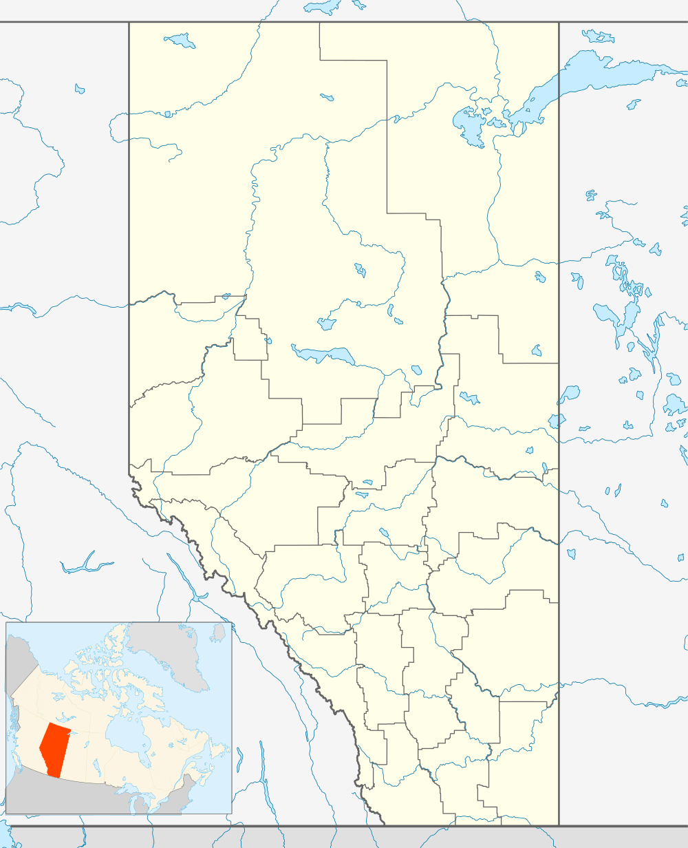 Location in Alberta | |
| Coordinates: 52°47′14.2″N 112°26′24.9″W / 52.787278°N 112.440250°WCoordinates: 52°47′14.2″N 112°26′24.9″W / 52.787278°N 112.440250°W | |
| Country |
|
| Province |
|
| Region | Central Alberta |
| Census division | 10 |
| Municipal district | Camrose County |
| Incorporated[1] | |
| • Village | January 1, 1966 |
| Government | |
| • Mayor | James McTavish |
| • Governing body | Rosalind Village Council |
| Area (2011)[2] | |
| • Total | 0.59 km2 (0.23 sq mi) |
| Elevation | 710 m (2,330 ft) |
| Population (2011)[2] | |
| • Total | 190 |
| • Density | 322.2/km2 (834/sq mi) |
| Time zone | MST (UTC-7) |
| Highways |
Highway 609 Highway 854 |
| Website | Official website |
Rosalind is a village located in the prairies of central Alberta, Canada. It is located on Highway 854, approximately 120 kilometres (75 mi) southeast of Edmonton and 30 kilometres (19 mi) southeast of Camrose, the closest major trading centre.
The name Rosalind was first used in 1905 and is likely an amalgamation of the nearby school districts Montrose and East Lynne.[3]
Rosalind has a number of small businesses, an elementary school, and a junior high school. The village provides various municipal services to its residents including fire protection.
Demographics
In the 2011 Census, the Village of Rosalind had a population of 190 living in 77 of its 92 total dwellings, a 0% change from its 2006 population of 190. With a land area of 0.59 km2 (0.23 sq mi), it had a population density of 322.0/km2 (834.1/sq mi) in 2011.[2]
The population of the Village of Rosalind according to its 2009 municipal census is 214.[4]
In 2006, Rosalind had a population of 190 living in 80 dwellings, the same as in 2001. The village has a land area of 0.59 km2 (0.23 sq mi) and a population density of 322.2/km2 (834/sq mi).[5]
Amenities
Rosalind has a community hall that holds events such as family reunions and weddings.[6] The village also has a hockey arena and baseball diamonds.[6]
See also
References
- ↑ "Location and History Profile: Village of Rosalind" (PDF). Alberta Municipal Affairs. October 21, 2016. p. 520. Retrieved October 23, 2016.
- 1 2 3 "Population and dwelling counts, for Canada, provinces and territories, and census subdivisions (municipalities), 2011 and 2006 censuses (Alberta)". Statistics Canada. 2012-02-08. Retrieved 2012-02-08.
- ↑ As the Wheels Turn : a history of Rosalind, Kelsey and districts. Rosalind, Alberta: Rosalind and District History Book Committee. 1982. p. 37.
- ↑ Alberta Municipal Affairs (2009-09-15). "Alberta 2009 Official Population List" (PDF). Retrieved 2010-09-12.
- ↑ Statistics Canada. "Canada 2006 Census: Rosalind - Community Profile". Retrieved 2007-06-09.
- 1 2 "About". Village of Rosalind. Retrieved 2011-10-02.
External links
 |
Kelsey | Bawlf | Daysland | |
| Edberg | |
Strome | ||
| ||||
| | ||||
| Meeting Creek | Donalda | Heisler |