Beylikova
| Beylikova | |
|---|---|
| District | |
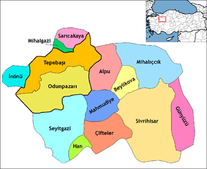 Location of Beylikova within Turkey. | |
 Beylikova Location of Beylikova within Turkey. | |
| Coordinates: 39°41′N 31°12′E / 39.683°N 31.200°E | |
| Country |
|
| Region | Central Anatolia |
| Province | Eskişehir |
| Government | |
| • Governor | Murat Uzunparmak |
| • Mayor | Özkan Alp (AKP) |
| Area[1] | |
| • District | 450.26 km2 (173.85 sq mi) |
| Elevation | 761 m (2,497 ft) |
| Population (2012)[2] | |
| • Urban | 3,257 |
| • District | 6,580 |
| • District density | 15/km2 (38/sq mi) |
| Time zone | EET (UTC+2) |
| • Summer (DST) | EEST (UTC+3) |
| Postal code | 26xxx |
| Area code(s) | 0222 |
| Licence plate | 26 |
| Website | www.eskisehir.gov.tr |
Beylikova, formerly Beylikahır, is a town and district of Eskişehir Province in the Central Anatolia region of Turkey. According to 2010 census, population of the district is 6,562 of which 3,157 live in the town of Beylikova.[3][4] The district covers an area of 450 km2 (174 sq mi), and the town lies at an average elevation of 761 m (2,497 ft).
Notes
- ↑ "Area of regions (including lakes), km²". Regional Statistics Database. Turkish Statistical Institute. 2002. Retrieved 2013-03-05.
- ↑ "Population of province/district centers and towns/villages by districts - 2012". Address Based Population Registration System (ABPRS) Database. Turkish Statistical Institute. Retrieved 2013-02-27.
- ↑ Statistical Institute
- ↑ GeoHive. "Statistical information on Turkey's administrative units". Retrieved 2008-04-03.
References
- Falling Rain Genomics, Inc. "Geographical information on Beylikova, Turkey". Retrieved 2008-04-03.
- Governorship of Eskişehir, Turkey. "General information on Beylikova, Eskişehir" (in Turkish). Archived from the original on 2007-11-19. Retrieved 2008-04-03.
- World Gazetteer. "Population statistics of Beylikova, Turkey". Retrieved 2008-04-03.
External links
- Eskişehir governor's official website (Turkish)
- Local news website (Turkish)
Coordinates: 39°41′13″N 31°12′20″E / 39.68694°N 31.20556°E
This article is issued from Wikipedia - version of the 11/1/2016. The text is available under the Creative Commons Attribution/Share Alike but additional terms may apply for the media files.