Blairgowrie, Victoria
| Blairgowrie Victoria | |||||||||||||
|---|---|---|---|---|---|---|---|---|---|---|---|---|---|
 Blairgowrie welcome sign | |||||||||||||
 Blairgowrie | |||||||||||||
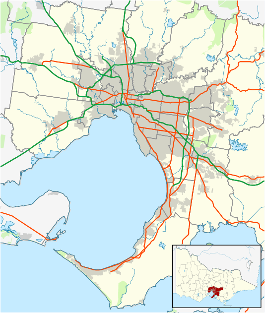
| Coordinates | 38°21′36″S 144°46′08″E / 38.36°S 144.769°ECoordinates: 38°21′36″S 144°46′08″E / 38.36°S 144.769°E | ||||||||||||
| Population | 2,161 (2011)[1] | ||||||||||||
| • Density | 343.0/km2 (888/sq mi) | ||||||||||||
| Postcode(s) | 3942 | ||||||||||||
| Area | 6.3 km2 (2.4 sq mi) | ||||||||||||
| Location | |||||||||||||
| LGA(s) | Shire of Mornington Peninsula | ||||||||||||
| State electorate(s) | Nepean | ||||||||||||
| Federal Division(s) | Flinders | ||||||||||||
| |||||||||||||
Blairgowrie is a seaside village approximately 87 km from Melbourne, Victoria, Australia. Its local government area is the Shire of Mornington Peninsula.
History
Blairgowrie was named after the Burgh of Blairgowrie, the largest town in Perth and Kinross, Scotland. A post office was not opened until 1 November 1947.[2]
Rhys Isaac, Pulitzer-prize-winning author, died in Blairgowrie on 6 October 2010.
Today
Blairgowrie is located near the western tip of the Mornington Peninsula, between Sorrento and Rye, and is one of many popular holiday destinations for Melburnians along this narrow peninsula strip. It is bordered on the north by Port Phillip, and on the south by Bass Strait and a series of surf beaches interspersed with spectacular cliffs and rocky ledges. It is frequented by tourists in the summer months, and has been featured on numerous travel programs.
References
- ↑ Australian Bureau of Statistics (31 October 2012). "Blairgowrie (State Suburb)". 2011 Census QuickStats. Retrieved 17 October 2012.
- ↑ Premier Postal History, Post Office List, retrieved 11 April 2008