Boneo, Victoria
| Boneo Victoria | |||||||||||||
|---|---|---|---|---|---|---|---|---|---|---|---|---|---|
 Boneo | |||||||||||||
| Coordinates | 38°24′47″S 144°53′17″E / 38.413°S 144.888°ECoordinates: 38°24′47″S 144°53′17″E / 38.413°S 144.888°E | ||||||||||||
| Population | 388 (2011 census)[1] | ||||||||||||
| Postcode(s) | 3939 | ||||||||||||
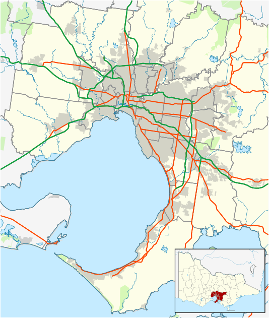
| Location | |||||||||||||
| LGA(s) | Shire of Mornington Peninsula | ||||||||||||
| State electorate(s) | Nepean | ||||||||||||
| Federal Division(s) | Flinders | ||||||||||||
| |||||||||||||
Boneo is a rural locality south of Melbourne, Victoria, Australia, south of and inland from Rosebud on the Mornington Peninsula. Its local government area is the Shire of Mornington Peninsula.
History
Boneo Post Office first opened on 1 July 1874 and closed in 1877. It reopened in 1902 and apart for a short recess was open until 1951.[2]
Today
It is dominated by the Boneo Flats, where market gardens and pastures are located. It contains a recreation reserve, community hall and primary school.[3][4] A market also operates on the third Saturday of every month.
The eastern part of the locality, alongside Main Creek, is part of the Mornington Peninsula National Park called Greens Bush, a native bushland area first set aside for conservation in 1974 and supporting the largest population of eastern grey kangaroos on the Mornington Peninsula. Several walking tracks provide access to the area.[5]
References
- ↑ Australian Bureau of Statistics (31 October 2012). "Boneo (State Suburb)". 2011 Census QuickStats. Retrieved 2012-10-17.
- ↑ Premier Postal History. "Post Office List". Retrieved 2008-04-11.
- ↑ Shire of Mornington Peninsula. "Townships - Boneo". Archived from the original on 2006-08-21. Retrieved 2006-11-27.
- ↑ Map 253-254, Melway street directory (28th ed., 2001)
- ↑ Parks Victoria. "Mornington Peninsula National Park". Retrieved 2006-11-27.
External links
- Mornington Peninsula National Park - Greens Bush (Parks Victoria)