Fingal, Victoria
| Fingal Victoria | |||||||||||||
|---|---|---|---|---|---|---|---|---|---|---|---|---|---|
 Fingal | |||||||||||||
| Coordinates | 38°25′16″S 144°51′40″E / 38.42111°S 144.86111°ECoordinates: 38°25′16″S 144°51′40″E / 38.42111°S 144.86111°E | ||||||||||||
| Population | 368 (2011 census)[1] | ||||||||||||
| Postcode(s) | 3939 | ||||||||||||
| LGA(s) | Shire of Mornington Peninsula | ||||||||||||
| State electorate(s) | Hastings | ||||||||||||
| Federal Division(s) | Flinders | ||||||||||||
| |||||||||||||
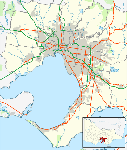
Fingal is a rural locality of the Mornington Peninsula abutting Bass Strait along Gunnamatta Beach and lying between the suburbs of Rye and Cape Schanck. Its local government area is the Shire of Mornington Peninsula.
See also
References
- ↑ Australian Bureau of Statistics (31 October 2012). "Fingal (State Suburb)". 2011 Census QuickStats. Retrieved 2012-10-17.
This article is issued from Wikipedia - version of the 11/3/2016. The text is available under the Creative Commons Attribution/Share Alike but additional terms may apply for the media files.