Rosebud West, Victoria
| Capel Sound (formerly Rosebud West) Melbourne, Victoria | |||||||||||||
|---|---|---|---|---|---|---|---|---|---|---|---|---|---|
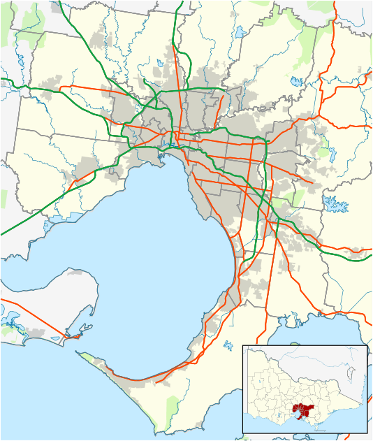 Capel Sound (formerly Rosebud West) Location in metropolitan Melbourne | |||||||||||||
| Coordinates | 38°22′37″S 144°52′19″E / 38.377°S 144.872°ECoordinates: 38°22′37″S 144°52′19″E / 38.377°S 144.872°E | ||||||||||||
| Population | 4,579 (2011)[1] | ||||||||||||
| • Density | 995/km2 (2,578/sq mi) | ||||||||||||
| Postcode(s) | 3940 | ||||||||||||
| Area | 4.6 km2 (1.8 sq mi) | ||||||||||||
| Location | |||||||||||||
| LGA(s) | Shire of Mornington Peninsula | ||||||||||||
| State electorate(s) | Nepean | ||||||||||||
| Federal Division(s) | Flinders | ||||||||||||
| |||||||||||||
Capel Sound is a suburb in Melbourne, Victoria, Australia. Its local government area is the Shire of Mornington Peninsula.
A distinguishing landmark feature of Rosebud West is the Tootgarook Swamp, the largest example left of a shallow freshwater marsh in the Port Phillip bay region. The swamp is also described by Melbourne water as a ground water dependent ecosystem. The 381 hectare swamp is found on the lower section of the Mornington Peninsula, called the Nepean Peninsula in Victoria, Australia. A large portion of the Tootgarook Swamp is inappropriately zoned as residential and industrial, with roughly half of the actual swamp inside the green wedge and half within the urban growth boundary.[2]
Rosebud West Post Office opened on 12 January 1938 and closed around 1996.[3]
On 15 September 2016 Mornington Peninsula Shire Council officially changed the name from Rosebud West to Capel Sound
References
- ↑ Australian Bureau of Statistics (31 October 2012). "Rosebud West (State Suburb)". 2011 Census QuickStats. Retrieved 17 October 2012.
- ↑ http://www.savetootgarookswamp.org/index.html
- ↑ Premier Postal History, Post Office List, retrieved 11 April 2008