Charlevoix County, Michigan
| Charlevoix County, Michigan | ||
|---|---|---|
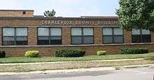 Charlevoix County Building | ||
| ||
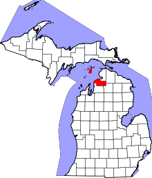 Location in the U.S. state of Michigan | ||
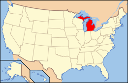 Michigan's location in the U.S. | ||
| Founded | 1869[1] | |
| Named for | Pierre François Xavier de Charlevoix | |
| Seat | Charlevoix | |
| Largest city | Boyne City | |
| Area | ||
| • Total | 1,390 sq mi (3,600 km2) | |
| • Land | 416 sq mi (1,077 km2) | |
| • Water | 974 sq mi (2,523 km2), 70% | |
| Population | ||
| • (2010) | 25,949 | |
| • Density | 62/sq mi (24/km²) | |
| Congressional district | 1st | |
| Time zone | Eastern: UTC-5/-4 | |
| Website |
www | |
Charlevoix County is a county in the U.S. state of Michigan. As of the 2010 census, the population was 25,949.[2] The county seat is Charlevoix.[3]
History
1840s: Surveyed and Organized as Keskkauko County
Between 1840 and 1841, surveyors William Austin Burt,[4] John Mullett and Charles W. Cathcart, surveyed much of Northern Michigan. Cathcart oversaw the internal lines survey for 34N 08W,[5] the region which would later be known as Charlevoix. Mullett and Cathcart laid out many of the townships in the new county including Charlevoix Township.[6]
The county was named in 1843 for Pierre François Xavier de Charlevoix, a Jesuit missionary of the French colonial era. The county was originally organized in 1840 as Kesk-kauko [7] in honor of a great chief of the Saginaw tribe,[8] and name was changed from Resh-kanko to Charlevoix County in 1843.[1]
1853: Strangites gain power and re-organize Keskkauko into Emmet County
Most of present day Charlevoix County was originally part of Emmet County.
In 1847, a group of "Strangite" Mormons settled on Beaver Island and established a "kingdom" led by "King" James Jesse Strang. There were bitter disputes between Strang's followers and other white settlers. Strang, seeking to strengthen his position, gained election to the Michigan State House of Representatives. In January 1853, he pushed through legislation titled, "An act to organize the County of Emmet", which enlarged Emmet County by attaching the nearby Lake Michigan islands to Emmet county, as well as a portion of Cheboygan County and Keskkauko/Resh-kanko/ Charlevoix. Charlevoix was thus organized in 1853 as a township under Emmet County and consisted all of the nine townships in the southern half of Emmet County.
Popular Dissatisfaction with Mormon Power
Due to Strang's influence, Mormons came to dominate Emmet county government, causing an exodus of many non-Mormon settlers to neighboring areas. In 1855, the non-Mormon resistance succeeded in getting the Michigan Legislature to reorganize Emmet County. The islands, including Beaver Island and North and South Manitou Islands, were transferred into the separate Manitou County, which effectively eliminated Mormons from Emmet County government. After an assassination attempt on June 20, 1856, Strang died three weeks later.
Charlevoix Township splits off to become Charlevoix County in 1869
Emmet County continued to experience tensions as citizens clashed over over whether to put the county seat at Little Traverse (Harbor Springs) versus Mackinaw City. In a contested election in 1867, residents voted to move the county seat to Charlevoix, which was upheld by a Circuit Court decision in 1868. However, in 1869, Charlevoix County was split from Emmet County, resulting in Charlevoix being the official county seat for Emmet county as well as for the newly formed Charlevoix County.
County Seat Wars -- Charlevoix vs East Jordan vs Boyne City
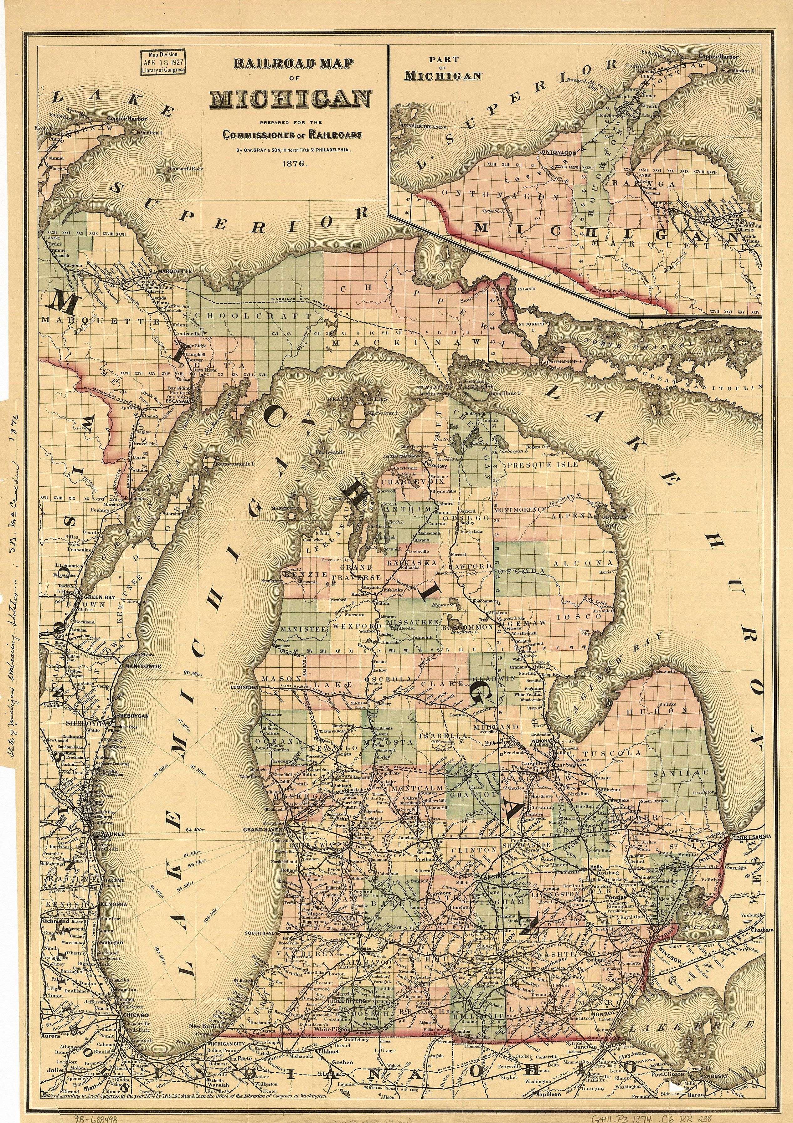
By 1876, the Grand Rapids and Indiana Railroad had built a line north to Petoskey with stops in Boyne Falls and Melrose. This link to cities in lower Michigan brought increased population to Charlevoix County, and new political power to the eastern part of the county.
In 1873, the Grand Rapids and Indiana Railroad was completed through the eastern side of Charlevoix county up to Petoskey, and the east side of Pine Lake became more and more populated. For example, Resort Township and Springvale Township, Michigan were formed in 1880 as a part of Charlevoix County. As new townships became established, Boyne City colluded with East Jordan to gain a requisite 2/3 majority of township supervisors to vote to move the county seat to East Jordan. In October 1884, 11 of the existing 16 township supervisors designated East Jordan to be the county seat. In October 1886, Boyne City convinced 2/3 of township supervisors to move the county seat to Boyne City.
Finally, in a January 1897 land deal with Emmet County and the state legislature, Charlevoix County took on three townships on Beaver Island while giving up Resort, Bear Lake, and Springvale townships to Emmet County. The resulting balance of township supervisor votes gave the City of Charlevoix enough votes to obtain the county seat after a 13-year hiatus.[9]
Other History
The Ironton Ferry began operation in 1876, and Ironton soon became a location for iron manufacture.[10]
The ten Michigan historical markers in the county generally mark events or places related to European-American history, although this has long been a hunting and fishing grounds for the Odawa people:[11]
- Big Rock Point Nuclear Power Plant
- Boyne City United Methodist Church
- Charlevoix Depot
- Greensky Hill Mission
- Horace S. Harsha House
- Horton Bay
- John Porter and Eva Porter Estate
- Mormon Kingdom
- Mormon Print Shop
- Norwood Township Hall
Geography
According to the U.S. Census Bureau, the county has a total area of 1,390 square miles (3,600 km2), of which 416 square miles (1,080 km2) is land and 974 square miles (2,520 km2) (70%) is water.[12] It is the fourth-smallest county in Michigan by land area.
Lake Charlevoix, with 17,200 acres (7,000 ha) surface area and 56 miles (90 km) of shoreline, is a very prominent feature of the county. Gull, Hat, Pismire, and Shoe Islands, which are part of the Beaver Island archipelago, form the Lake Michigan division of the Michigan Islands National Wildlife Refuge, and two of them are part of the Michigan Islands Wilderness Area.
The county is considered to be part of Northern Michigan.
Adjacent counties
- Emmet County (north)
- Cheboygan County (northeast)
- Emmet County (northeast)
- Otsego County (southeast)
- Antrim County (south)
- Leelanau County (southwest)
- Schoolcraft County (northwest)
National protected area
Transportation
State highways
County-designated highways
Airports
Ferry service
- Beaver Island Boat Company maintains a regular auto ferry from Charlevoix:[15]
- The Ironton Ferry at Ironton, Michigan crosses the south arm of Lake Charlevoix. It is a designated Michigan Historical Site and has been in operation since 1876.
Bus service
- Indian Trails provides intercity bus service with stops in the city of Charlevoix and Boyne Falls.
- County-wide dial-a-ride bus service is provided by the Charlevoix County Transit System.
Demographics
| Historical population | |||
|---|---|---|---|
| Census | Pop. | %± | |
| 1870 | 1,724 | — | |
| 1880 | 5,115 | 196.7% | |
| 1890 | 9,686 | 89.4% | |
| 1900 | 13,956 | 44.1% | |
| 1910 | 19,157 | 37.3% | |
| 1920 | 15,788 | −17.6% | |
| 1930 | 11,981 | −24.1% | |
| 1940 | 13,031 | 8.8% | |
| 1950 | 13,475 | 3.4% | |
| 1960 | 13,421 | −0.4% | |
| 1970 | 16,541 | 23.2% | |
| 1980 | 19,907 | 20.3% | |
| 1990 | 21,468 | 7.8% | |
| 2000 | 26,090 | 21.5% | |
| 2010 | 25,949 | −0.5% | |
| Est. 2015 | 26,238 | [16] | 1.1% |
| U.S. Decennial Census[17] 1790-1960[18] 1900-1990[19] 1990-2000[20] 2010-2013[2] | |||
As of the census[21] of 2000, there were 26,090 people, 10,400 households, and 7,311 families residing in the county. The population density was 63 people per square mile (24/km²). There were 15,370 housing units at an average density of 37 per square mile (14/km²). The racial makeup of the county was 96.31% White, 0.17% Black or African American, 1.54% Native American, 0.23% Asian, 0.09% Pacific Islander, 0.41% from other races, and 1.25% from two or more races. 1.04% of the population were Hispanic or Latino of any race. 21.8% were of German, 12.0% English, 11.0% American, 10.6% Irish and 8.4% Polish ancestry according to Census 2000. 97.3% spoke English and 1.1% Spanish as their first language.
There were 10,400 households out of which 31.80% had children under the age of 18 living with them, 58.40% were married couples living together, 8.10% had a female householder with no husband present, and 29.80% were non-families. 25.20% of all households were made up of individuals and 10.50% had someone living alone who was 65 years of age or older. The average household size was 2.48 and the average family size was 2.96.
In the county the population was spread out with 25.90% under the age of 18, 6.50% from 18 to 24, 27.40% from 25 to 44, 25.20% from 45 to 64, and 14.90% who were 65 years of age or older. The median age was 39 years. For every 100 females there were 97.90 males. For every 100 females age 18 and over, there were 94.80 males.
The median income for a household in the county was $39,788, and the median income for a family was $46,260. Males had a median income of $32,457 versus $22,447 for females. The per capita income for the county was $20,130. About 5.40% of families and 8.00% of the population were below the poverty line, including 10.00% of those under age 18 and 5.90% of those age 65 or over.
Government
The county government operates the jail, maintains rural roads, operates the major local courts, keeps files of deeds and mortgages, maintains vital records, administers public health regulations, and participates with the state in the provision of welfare and other social services. The county board of commissioners controls the budget but has only limited authority to make laws or ordinances. In Michigan, most local government functions — police and fire, building and zoning, tax assessment, street maintenance, etc. — are the responsibility of individual cities and townships. Charlevoix is part of the 114th district.
Communities
Cities
- Boyne City
- Charlevoix (county seat)
- East Jordan
Village
Census-designated places
Townships
See also
- List of Michigan State Historic Sites in Charlevoix County, Michigan
- National Register of Historic Places listings in Charlevoix County, Michigan
References
- 1 2
- "Bibliography on Charlevoix County". Clarke Historical Library, Central Michigan University. Retrieved January 19, 2013.
- 1 2 "State & County QuickFacts". United States Census Bureau. Retrieved August 27, 2013.
- ↑ "Find a County". National Association of Counties. Archived from the original on 2011-05-31. Retrieved 2011-06-07.
- ↑ KONSTANTIN, LYNNE (September 11, 2014). "Living History A local couple has seen to it that a historic wedding cake-style house in Washington Township lives happily ever after" (Fall 2014). Detroit Home Magazine. Retrieved 29 November 2016.
Early in the 1840s, Burt, along with fellow surveyor John Mullett, made a federal survey of northern Michigan’s Cheboygan and Emmett counties, where there are now two lakes, one named after each man
- ↑ "Interior Lines - Volume 1253 - Survey notes for Charlevoix Township, Charlevoix County". seeking Michigan. Retrieved 29 November 2016.
- ↑ Mullett, John; Cathcart, Charles W. "34N 08W - Survey Map of Charlevoix Township, Charlevoix County". seeking Michigan. Retrieved 29 November 2016.
- ↑ Pioneer Collections, Volume 1. Report of the Pioneer Society of the State of Michigan. 1900 / 1876. p. 213. Check date values in:
|date=(help) - ↑ accessed 3 September 2016 Cutcheon, Henry Munson Utley Cutcheon M. (2013). pp. 270-1. Michigan As a Province, Territory and State, the Twenty-Sixth Member of the Federal Union (Vol. 3). London: Forgotten Books, as pdf pp. 287-8. (Original work published 1906).
- ↑ Harris, William (1905). Biographical History of Northern Michigan, Containing Biographies of Prominent Citizens. BF Bowne and Co. pp. 490–493. Retrieved 6 April 2016.
- ↑ Fellows, Deb. "Step Onto Lake Charlevoix's Ironton Ferry". Mynorth August 2, 2009. Retrieved 19 April 2016.
the Ironton Ferry is the short sweet ride across the narrows of the South Arm of Lake Charlevoix—a ride that’s been a tradition up here since 1876.
- ↑ Michigan Historical Markers
- ↑ "2010 Census Gazetteer Files". United States Census Bureau. August 22, 2012. Retrieved September 19, 2014.
- ↑ Fresh Air Aviation
- ↑ Island Airways
- ↑ Beaver Island Auto ferry
- ↑ "County Totals Dataset: Population, Population Change and Estimated Components of Population Change: April 1, 2010 to July 1, 2015". Retrieved July 2, 2016.
- ↑ "U.S. Decennial Census". United States Census Bureau. Archived from the original on May 11, 2015. Retrieved September 19, 2014.
- ↑ "Historical Census Browser". University of Virginia Library. Retrieved September 19, 2014.
- ↑ "Population of Counties by Decennial Census: 1900 to 1990". United States Census Bureau. Retrieved September 19, 2014.
- ↑ "Census 2000 PHC-T-4. Ranking Tables for Counties: 1990 and 2000" (PDF). United States Census Bureau. Retrieved September 19, 2014.
- ↑ "American FactFinder". United States Census Bureau. Archived from the original on 2013-09-11. Retrieved 2008-01-31.
External links
- Charlevoix County web site
- Charlevoix Area Chamber of commerce, with links, calendar of events
- "Bibliography on Charlevoix County". Clarke Historical Library, Central Michigan University. Retrieved January 19, 2013.
 |
Schoolcraft County | Mackinac County | Cheboygan County & Emmet County | |
| |
||||
| ||||
| | ||||
| Leelanau County | Antrim County | Otsego County |
Municipalities and communities of Charlevoix County, Michigan, United States | ||
|---|---|---|
| Cities | | |
| Village | ||
| Townships | ||
| CDPs | ||
| Central cities | |
|---|---|
| Counties | |
| Geography | |
| Transportation | |
| Economy | |
Coordinates: 45°28′N 85°28′W / 45.47°N 85.46°W