Crossfield, Alberta
| Crossfield | |
|---|---|
| Town | |
| Town of Crossfield | |
| Motto: Progress Through Friendship | |
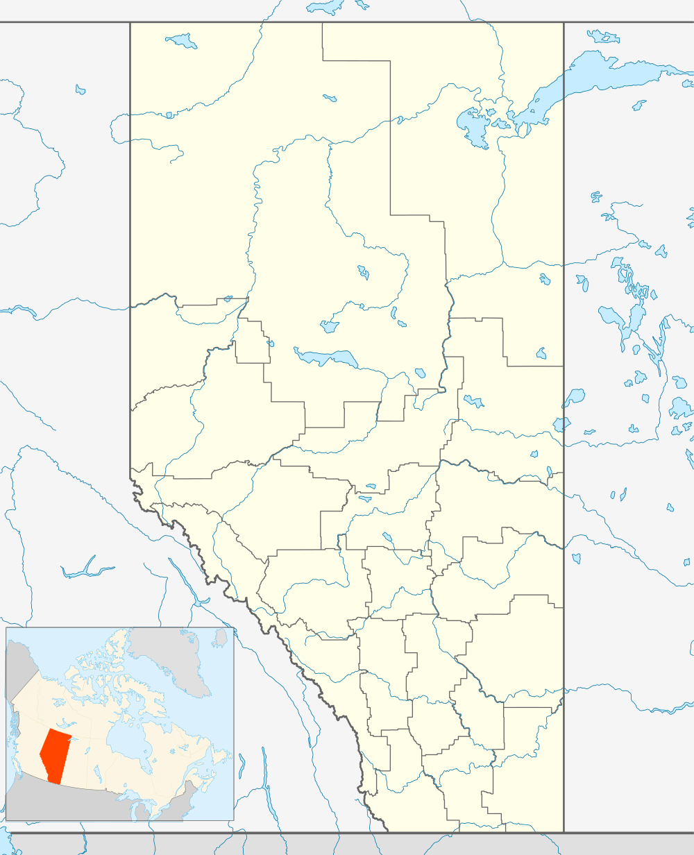 Crossfield Location of Crossfield in Alberta | |
| Coordinates: 51°25′52″N 114°01′34″W / 51.43111°N 114.02611°W | |
| Country |
|
| Province |
|
| Region | Calgary Region |
| Census division | 6 |
| Municipal district | Rocky View County |
| Incorporated[1] | |
| • Village | June 3, 1907 |
| • Town | August 1, 1980 |
| Government[2] | |
| • Mayor | Nathan Anderson |
| • Governing body | Crossfield Town Council |
| • MP | Blake Richards, Wild Rose |
| Area (2011)[3] | |
| • Total | 11.87 km2 (4.58 sq mi) |
| Elevation[4] | 1,113 m (3,652 ft) |
| Population (2011)[3] | |
| • Total | 2,853 |
| • Density | 240.3/km2 (622/sq mi) |
| Time zone | MST (UTC-7) |
| Postal code span | T0M-0S0 |
| Highways |
Highway 2A Highway 574 |
| Website | Official website |
Crossfield is a town in southern Alberta, Canada within Rocky View County. It is located on Highway 2A 43 km (27 mi) north of the City of Calgary.
As a rail station on the Calgary to Edmonton (C&E) line of the Canadian Pacific Railway, Crossfield was founded in 1892. Crossfield was named after an engineer with the Canadian Pacific Railway survey crew. By 1904, the community had a post office, a general store, a hotel and a school. In 1906, the first grain elevator opened and Crossfield was incorporated as a village the following year in 1907.[5] In 1980, Crossfield incorporated as a town.
The Town of Crossfield is a member of the Calgary Regional Partnership. Crossfield is within the Calgary-Edmonton Corridor and is growing as a result. Crossfield is north of the City of Airdrie and south of the Town of Olds. Crossfield is surrounded by the rural Rocky View County.
Demographics
The population of the Town of Crossfield according to its 2014 municipal census is 2,918,[6] a 2% change from its 2010 municipal census population of 2,861.[7]
In the 2011 Census, the Town of Crossfield had a population of 2,853 living in 1,018 of its 1,090 total dwellings, a 6.9% change from its 2006 adjusted population of 2,668. With a land area of 11.87 km2 (4.58 sq mi), it had a population density of 240.4/km2 (622.5/sq mi) in 2011.[3]
In 2006, Crossfield had a population of 2,648 living in 960 dwellings, a 10.4% increase from 2001. The town has a land area of 4.80 km2 (1.85 sq mi) and a population density of 551.4/km2 (1,428/sq mi).[8]
Economy
The primary economic base of the Crossfield area is agriculture, agricultural services and natural gas processing. The Crossfield Gas Plant located south of the town, currently owned by TAQA North, has been operation since 1965.
Education
Crossfield has two schools – Crossfield Elementary School (Kindergarten to Grade 5)[9] and W.G. Murdoch School (Grades 6-12).[10]
See also
References
- ↑ "Location and History Profile: Town of Crossfield" (PDF). Alberta Municipal Affairs. October 7, 2016. p. 176. Retrieved October 13, 2016.
- ↑ Alberta Municipal Affairs: Municipal Officials Search
- 1 2 3 "Population and dwelling counts, for Canada, provinces and territories, and census subdivisions (municipalities), 2011 and 2006 censuses (Alberta)". Statistics Canada. 2012-02-08. Retrieved 2012-02-08.
- ↑ "Alberta Private Sewage Systems 2009 Standard of Practice Handbook: Appendix A.3 Alberta Design Data (A.3.A. Alberta Climate Design Data by Town)" (PDF) (PDF). Safety Codes Council. January 2012. pp. 212–215 (PDF pages 226–229). Retrieved October 8, 2013.
- ↑ Read, Tracy (1983). Acres and Empires : a history of the Municipal District of Rocky View no. 44. p. 68.
- ↑ "Town of Crossfield: 2014 Census". Town of Crossfield. Retrieved August 22, 2014.
- ↑ "2010 Official Population List" (PDF). Alberta Municipal Affairs. September 15, 2010. Retrieved January 1, 2011.
- ↑ Statistics Canada. "Canada 2006 Census: Crossfield - Community Profile". Retrieved 2007-06-11.
- ↑ Rocky View Schools. "Crossfield Elementary School". Retrieved 2010-08-17.
- ↑ Rocky View Schools. "W.G. Murdoch School". Retrieved 2010-08-17.
- Karamitsanis, Aphrodite (1992). Place Names of Alberta – Volume II, Southern Alberta, University of Calgary Press, Calgary, Alberta.
- Read, Tracey (1983). Acres and Empires – A History of the Municipal District of Rocky View, Calgary, Alberta.
External links
 |
Sundre | Carstairs | Linden | |
| Cremona | |
Beiseker | ||
| ||||
| | ||||
| Cochrane | Airdrie | Irricana |
Coordinates: 51°26′N 114°02′W / 51.433°N 114.033°W