Vermilion, Alberta
| Vermilion | |
|---|---|
| Town | |
| Town of Vermilion | |
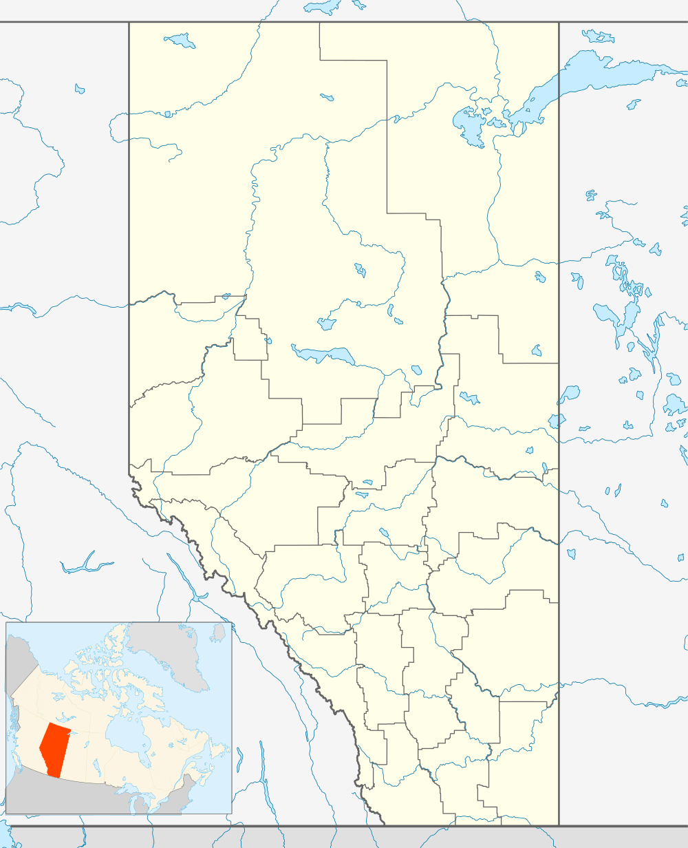 Vermilion Location of Vermilion in Alberta | |
| Coordinates: 53°21′15″N 110°51′10″W / 53.35417°N 110.85278°W | |
| Country |
|
| Province |
|
| Region | Central Alberta |
| Census division | 10 |
| Municipal district | County of Vermilion River |
| Founded | 1902 |
| Incorporated | 1906 |
| Government[1] | |
| • Mayor | Bruce MacDuff |
| • Governing body | Vermilion Town Council |
| Area (2011)[2] | |
| • Total | 13.69 km2 (5.29 sq mi) |
| Elevation[3] | 580 m (1,900 ft) |
| Population (2011)[2] | |
| • Total | 3,930 |
| • Density | 287.0/km2 (743/sq mi) |
| Time zone | MST (UTC−7) |
| • Summer (DST) | MDT (UTC−6) |
| Area code(s) | +1-780 |
| Highways |
Highway 16 Highway 41 |
| Waterway | Vermilion River |
| Website | Official website |
Vermilion is a town in central Alberta, Canada within the County of Vermilion River. It is located at the intersection of Highway 16 (Yellowhead Highway) and Highway 41 (Buffalo Trail), approximately 60 kilometres (37 mi) west of Lloydminster and 192 kilometres (119 mi) east of Edmonton.
History

It was not until 1902 that a significant number of settlers arrived in this area of Alberta, mostly of British ethnic background coming from the east. Just west of Vermilion is the line between British and those of Ukrainian ethnic background having travelled mostly from west.
In 1904, a post office was established at Breage approximately 5 km (3.1 mi) east of the present townsite.[4]
In 1905, the Canadian Northern Railway arrived and a station was built. The post office was relocated from Breage. Throughout the days of steam, the railway was important to Vermilion. Vermilion was used as a divisional point. It had a water tower to resupply engines, a large roundhouse, an extensive yard, a wye, a turntable, and a bunkhouse for engine crews. With the decline of steam power in the late 1950s and early 1960s, the railway became less important.
In early 1906, Vermilion was incorporated as a village and then as a town later in the same year. The name Vermilion comes from the red clay found in the river valley. In fact, one of the first businesses in Vermilion was the brick factory which operated from 1906 until 1914. Some Vermilion buildings built from brick from this factory are still standing.
The first newspaper to publish in the Vermilion area was the Vermilion Signal which was founded and edited by William Bleasdell Cameron. (a survivor of the Frog Lake Massacre).[5] In 1909, S.R.P. Cooper established the Vermilion Standard, which continues to publish to this day.
In 1911, the provincial government established three demonstration farms near Olds, Fairview, and just west of the Vermilion townsite. The Vermilion Board of Trade had lobbied the government for a demonstration farm and or college. When the Vermilion School of Agriculture officially opened on November 17, 1913, it became the first of the provincial agricultural colleges to open its door. The Vermilion School of Agriculture has had several name changes in the intervening years including Vermilion Agricultural and Vocational College and Vermilion College before becoming Lakeland College in 1975.

Like other communities on the prairies in the early years of the 20th century, Vermilion experienced an extensive fire. Occurring on April 10, 1918, the fire destroyed 28 stores and business blocks.[4]
Two Vermilion businesses have operated since before the town was incorporated. Craig's, a department store, and Long's, a drugstore, have been at the same downtown locations since 1905.
In the 1970s, an instructor at the college designed a grain dryer. He established a company, Vertec, to manufacture and market this dryer and eventually a large grain dryer factory was built in Vermilion. For a brief time, Vermilion billed itself as "The Grain Dryer Capital of Canada". However, Vertec did not enjoy lasting success and went bankrupt. Today the large former factory is a storage facility for agricultural products.
Demographics
The Town of Vermilion's 2012 municipal census counted a population of 4,545,[6] a 1.6% increase over its 2007 municipal census population of 4,472.[7]
In the 2011 Census, the Town of Vermilion had a population of 3,930 living in 1,651 of its 1,845 total dwellings, a -2.6% change from its 2006 population of 4,036. With a land area of 13.69 km2 (5.29 sq mi), it had a population density of 287.1/km2 (743.5/sq mi) in 2011.[2]
In 2006, Vermilion had a population of 4,036, living in 2110 dwellings, a 2.2% increase from 2001. The town has a land area of 13.69 km2 (5.29 sq mi) and a population density of 2,940.7/km2 (7,616/sq mi).[8]
The town had a population of 3,948 in 2001,[9] and the median age of the residents of the town was 36.2.
Economy
The economy is largely service industry to agriculture.
Arts and culture
The Vermilion Agricultural Society hosts an annual fair which started in 1906. The fair begins with a parade on Thursday morning. The fair lasts a total of three days the last weekend in July.[10]
Attractions
The Vermilion Provincial Park is located on the northwest side of the town. It includes camping, fishing, canoeing and trails for hiking, cycling and cross-country skiing.[11]
Education
The town has two public schools: Vermilion Elementary (K-6) and J.R. Robson Secondary (7-12), and one Catholic school, St. Jerome's School[12] (K-12). The School of Hope, a home school, has its central office in Vermilion.
The town also attracts students from throughout Canada to Lakeland College.[13] Lakeland offers certificate, diploma, applied degree, university transfer, apprenticeship, and pre-employment programs. Programming at the Vermilion campus includes agricultural sciences, business, environmental sciences, fire and emergency response, human services, interior design technology, and trades and technology. Lakeland's residence village is home to more than 500 students.
Media
Vermilion's local weekly newspapers are the Vermilion Standard[14] and the Vermilion and Area Voice.[15]
Notable people
- Charlie Mead, Major League Baseball player
- Beckie Scott, Olympic cross-country skier
- Jeff Woywitka, professional hockey player
See also
References
- ↑ Town of Vermilion. "Mayor's Message". Archived from the original on 2007-08-12. Retrieved 2007-08-04.
- 1 2 3 "Population and dwelling counts, for Canada, provinces and territories, and census subdivisions (municipalities), 2011 and 2006 censuses (Alberta)". Statistics Canada. 2012-02-08. Retrieved 2012-02-08.
- ↑ "Alberta Private Sewage Systems 2009 Standard of Practice Handbook: Appendix A.3 Alberta Design Data (A.3.A. Alberta Climate Design Data by Town)" (PDF) (PDF). Safety Codes Council. January 2012. pp. 212–215 (PDF pages 226–229). Retrieved October 9, 2013.
- 1 2 Town of Vermilion Archived October 7, 2006, at the Wayback Machine. – History
- ↑ "Vermilion Signal, 27 February 1908 (Peel's Prairie Provinces)". Retrieved 2014-04-13.
- ↑ "Community Profile – At A Glance". Town of Vermilion. Retrieved 2012-07-19.
- ↑ "Alberta 2009 Official Population List" (PDF). Alberta Municipal Affairs. 2009-09-15. Retrieved 2010-09-14.
- ↑ Statistics Canada. "Canada 2006 Census: Vermilion - Community Profile". Retrieved 2007-06-13.
- ↑ Statistics Canada 2001 Census Community Profiles
- ↑ "Vermilion Agricultural Society". http://www.vermilionag.ca/fair.html. External link in
|website=(help); - ↑ "Vermilion Provincial Park". Alberta Environment and Sustainable Resource Development. Retrieved May 16, 2015.
- ↑ East Central Alberta Catholic Schools Archived August 20, 2010, at the Wayback Machine.
- ↑ Lakeland College
- ↑ "Vermilion Standard". Canoe Sun Media. Retrieved August 9, 2012.
- ↑ "Vermilion and Area Voice". Vermilion Voice. Retrieved January 15, 2013.
External links
 |
Myrnam | Elk Point | Dewberry | |
| Mannville | |
Kitscoty | ||
| ||||
| | ||||
| Viking | Wainwright | Paradise Valley |
Coordinates: 53°21′15″N 110°51′10″W / 53.35417°N 110.85278°W