Kensington, Cape Town
This article is about the suburb of Cape Town. For other places also named Kensington, see Kensington (disambiguation).
| Kensington The State | |
|---|---|
 Kensington  Kensington  Kensington
| |
|
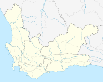
Location within Cape Town 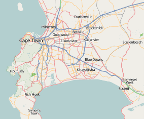 Kensington | |
| Coordinates: 33°54′37″S 18°30′28″E / 33.91028°S 18.50778°ECoordinates: 33°54′37″S 18°30′28″E / 33.91028°S 18.50778°E | |
| Country | South Africa |
| Province | Western Cape |
| Municipality | City of Cape Town |
| Main Place | Goodwood |
| Area[1] | |
| • Total | 1.88 km2 (0.73 sq mi) |
| Population (2011)[1] | |
| • Total | 12,551 |
| • Density | 6,700/km2 (17,000/sq mi) |
| Racial makeup (2011)[1] | |
| • Black African | 6.5% |
| • Coloured | 88.0% |
| • Indian/Asian | 2.6% |
| • White | 0.3% |
| • Other | 2.6% |
| First languages (2011)[1] | |
| • English | 77.4% |
| • Afrikaans | 18.4% |
| • Other | 6.2% |
| Postal code (street) | 7405 |
| PO box | 7405 |
| Area code | 021 |
Kensington is one of the northern suburbs of Cape Town.
References
- 1 2 3 4 "Sub Place Kensington". Census 2011.
.svg.png)
This article is issued from Wikipedia - version of the 1/26/2016. The text is available under the Creative Commons Attribution/Share Alike but additional terms may apply for the media files.