Parklands, Cape Town
| Parklands | |
|---|---|
 | |
 Parklands  Parklands  Parklands
| |
|
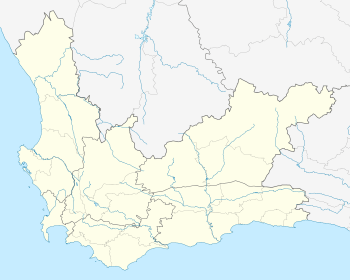
Location within Cape Town 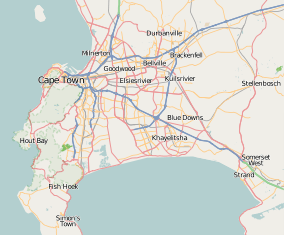 Parklands | |
| Coordinates: 33°48′52″S 18°30′09″E / 33.81444°S 18.50250°ECoordinates: 33°48′52″S 18°30′09″E / 33.81444°S 18.50250°E | |
| Country | South Africa |
| Province | Western Cape |
| Municipality | City of Cape Town |
| Main Place | Bloubergstrand |
| Government | |
| • Councillor |
Lubabalo Makeleni (Ward 104) (ANC) Heather Brenner (Ward 107) (DA) |
| Area[1] | |
| • Total | 2.47 km2 (0.95 sq mi) |
| Population (2011)[1] | |
| • Total | 14,476 |
| • Density | 5,900/km2 (15,000/sq mi) |
| Racial makeup (2011)[1] | |
| • Black African | 30.7% |
| • Coloured | 10.4% |
| • Indian/Asian | 3.1% |
| • White | 54.2% |
| • Other | 1.6% |
| First languages (2011)[1] | |
| • English | 56.7% |
| • Afrikaans | 16.3% |
| • Xhosa | 9.8% |
| • Zulu | 1.8% |
| • Other | 15.3% |
| Postal code (street) | 7441 |
| PO box | 2121 |
Parklands is a suburb of Cape Town, South Africa. It is near Blouberg, bordered by Tableview, Cape Town and is part of the Western Seaboard residential district.
Parklands is one of the fastest growing residential developments in the Western Cape.
References
- 1 2 3 4 "Sub Place Parklands". Census 2011.
.svg.png)
This article is issued from Wikipedia - version of the 10/2/2016. The text is available under the Creative Commons Attribution/Share Alike but additional terms may apply for the media files.