Pleasant Ridge, Barry County, Missouri
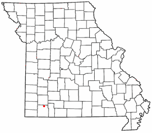
Pleasant Ridge is an unincorporated community in northern Barry County, Missouri. It is located on Missouri Supplemental Routes Z and VV, eight miles east of Monett. Community boundaries extend approximately 0.5 mile east and west of Route VV along Route Z, and 0.5 to 1.0 miles north and south of Route Z along Routes VV and its farm road extension to the north.
History
Pleasant Ridge at one time was home to a cannery, school, and several residences. The schoolhouse still stands on the southwest corner of the intersection of Routes Z and VV. The cannery no longer is standing, however it is believed to be located on the concrete pad found next to Route Z in the southeast corner of the intersection of Routes Z and VV.
Local farms, according to residents, grew cucumbers and blueberries, specifically in the bottom land found to the southwest of the community center.
The Tom Town Historic District was added to the National Register of Historic Places in 1989.[1]
Climate
The climate is characterized by relatively high temperatures and evenly distributed precipitation throughout the year. The Köppen Climate Classification subtype for this climate is "Cfa" (Humid Subtropical Climate).[2]
| Climate data for Pleasant Ridge, Missouri | |||||||||||||
|---|---|---|---|---|---|---|---|---|---|---|---|---|---|
| Month | Jan | Feb | Mar | Apr | May | Jun | Jul | Aug | Sep | Oct | Nov | Dec | Year |
| Average high °C (°F) | 6 (42) |
9 (48) |
14 (57) |
19 (67) |
23 (74) |
28 (82) |
28 (82) |
31 (88) |
27 (80) |
21 (69) |
13 (56) |
7 (45) |
19 (66) |
| Average low °C (°F) | −5 (23) |
−3 (27) |
2 (36) |
7 (45) |
12 (54) |
17 (63) |
19 (67) |
19 (66) |
14 (58) |
8 (47) |
3 (37) |
−3 (26) |
8 (46) |
| Average precipitation mm (inches) | 56 (2.2) |
53 (2.1) |
100 (4) |
114 (4.5) |
135 (5.3) |
137 (5.4) |
89 (3.5) |
86 (3.4) |
130 (5.1) |
97 (3.8) |
104 (4.1) |
71 (2.8) |
1,173 (46.2) |
| Average precipitation days | 7 | 7 | 10 | 10 | 12 | 10 | 7 | 7 | 8 | 8 | 8 | 7 | 101 |
| Source: Weatherbase [3] | |||||||||||||
References
- ↑ National Park Service (2010-07-09). "National Register Information System". National Register of Historic Places. National Park Service.
- ↑ Climate Summary for Pleasant Ridge, Missouri
- ↑ "Weatherbase.com". Weatherbase. 2013. Retrieved on August 16, 2013.
Coordinates: 36°53′46″N 93°47′31″W / 36.896°N 93.792°W
Municipalities and communities of Barry County, Missouri, United States | ||
|---|---|---|
| Cities | 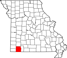 | |
| Villages | ||
| Townships | ||
| CDPs | ||
| Unincorporated communities | ||
| Ghost towns | ||
| Footnotes | ‡This populated place also has portions in an adjacent county or counties | |