Échauffour
| Échauffour | |
|---|---|
|
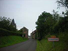
Village entrance | |
 Échauffour | |
|
Location within Normandy region  Échauffour | |
| Coordinates: 48°44′29″N 0°23′19″E / 48.7414°N 0.3886°ECoordinates: 48°44′29″N 0°23′19″E / 48.7414°N 0.3886°E | |
| Country | France |
| Region | Normandy |
| Department | Orne |
| Arrondissement | Argentan |
| Canton | Le Merlerault |
| Intercommunality | Communauté de communes de la Vallée de la Risle |
| Government | |
| • Mayor (2008–2014) | Luc Féret |
| Area1 | 33.14 km2 (12.80 sq mi) |
| Population (2012)2 | 737 |
| • Density | 22/km2 (58/sq mi) |
| Time zone | CET (UTC+1) |
| • Summer (DST) | CEST (UTC+2) |
| INSEE/Postal code | 61150 / 61370 |
| Elevation |
223–331 m (732–1,086 ft) (avg. 281 m or 922 ft) |
|
1 French Land Register data, which excludes lakes, ponds, glaciers > 1 km² (0.386 sq mi or 247 acres) and river estuaries. 2 Population without double counting: residents of multiple communes (e.g., students and military personnel) only counted once. | |
Échauffour is a commune in the Orne department in north-western France.
See also
References
| Wikimedia Commons has media related to Échauffour. |
This article is issued from Wikipedia - version of the 7/14/2015. The text is available under the Creative Commons Attribution/Share Alike but additional terms may apply for the media files.