Le Mêle-sur-Sarthe
| Le Mêle-sur-Sarthe | |
|---|---|
|
Vue générale de la ville prise de l'étang de Bois-Roger | |
 Le Mêle-sur-Sarthe | |
|
Location within Normandy region  Le Mêle-sur-Sarthe | |
| Coordinates: 48°30′43″N 0°21′20″E / 48.5119°N 0.3556°ECoordinates: 48°30′43″N 0°21′20″E / 48.5119°N 0.3556°E | |
| Country | France |
| Region | Normandy |
| Department | Orne |
| Arrondissement | Alençon |
| Canton |
Le Mêle-sur-Sarthe (chef-lieu) |
| Intercommunality | Communauté de communes du Pays Mêlois |
| Government | |
| • Mayor (2008–2014) | Marie-Françoise Desvergnes |
| Area1 | 0.62 km2 (0.24 sq mi) |
| Population (2006)2 | 777 |
| • Density | 1,300/km2 (3,200/sq mi) |
| Time zone | CET (UTC+1) |
| • Summer (DST) | CEST (UTC+2) |
| INSEE/Postal code | 61258 / 61170 |
| Elevation |
143–157 m (469–515 ft) (avg. 155 m or 509 ft) |
|
1 French Land Register data, which excludes lakes, ponds, glaciers > 1 km² (0.386 sq mi or 247 acres) and river estuaries. 2 Population without double counting: residents of multiple communes (e.g., students and military personnel) only counted once. | |

Le Mêle-sur-Sarthe is a commune in the Orne department in north-western France.
Twin towns – Sister cities
Le Mêle-sur-Sarthe is twinned with:
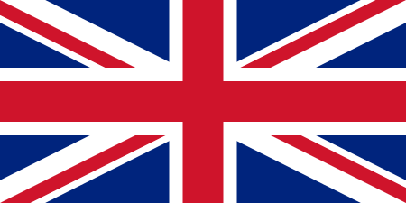 Faringdon, United Kingdom (since 1990)[1]
 Königstein im Taunus, Germany
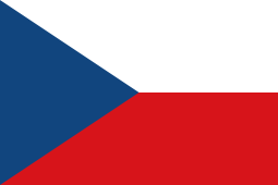 Libčany, Czech Republic
See also
References
- ↑ "British towns twinned with French towns [via WaybackMachine.com]". Archant Community Media Ltd. Archived from the original on 5 July 2013. Retrieved 2013-07-20.
| Wikimedia Commons has media related to Le Mêle-sur-Sarthe. |
This article is issued from Wikipedia - version of the 9/10/2016. The text is available under the Creative Commons Attribution/Share Alike but additional terms may apply for the media files.