Žadovinek
| Žadovinek | |
|---|---|
 | |
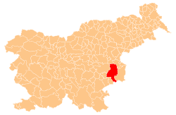
 Žadovinek Location in Slovenia | |
| Coordinates: 45°56′2.89″N 15°29′39.86″E / 45.9341361°N 15.4944056°ECoordinates: 45°56′2.89″N 15°29′39.86″E / 45.9341361°N 15.4944056°E | |
| Country |
|
| Traditional region | Lower Carniola |
| Statistical region | Lower Sava |
| Municipality | Krško |
| Area | |
| • Total | 3.17 km2 (1.22 sq mi) |
| Elevation | 155.9 m (511.5 ft) |
| Population (2002) | |
| • Total | 82 |
| [1] | |
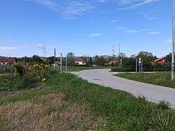
Žadovinek (pronounced [ʒadɔˈʋiːnək]; in older sources also Zadovinek[2]:78) is a settlement on the right bank of the Sava River, east of Leskovec in the Municipality of Krško in eastern Slovenia. The area was traditionally part of Lower Carniola. It is now included with the rest of the municipality in the Lower Sava Statistical Region.[3]
History
In the late fall of 1941, German forces evicted the residents of the village in order to make way for the resettlement of Gottschee Germans. In 1964 the northern part of Žadovinek, known as Petrovce, was annexed by the town of Krško. The remaining part, known as Srednji Marof (German: Mittermaierhof)[2]:79 remained separate as the village of Žadovinek.[4]
Cultural heritage
Late Bronze Age, Early Iron Age, and Roman graves have been found in the Petrovce area of the settlement.[5]
References
- ↑ Statistical Office of the Republic of Slovenia
- 1 2 Leksikon občin kraljestev in dežel zastopanih v državnem zboru, vol. 6: Kranjsko. 1906. Vienna: C. Kr. Dvorna in Državna Tiskarna.
- ↑ Krško municipal site
- ↑ Savnik, Roman, ed. 1976. Krajevni leksikon Slovenije, vol. 3. Ljubljana: Državna založba Slovenije. pp. 169–170.
- ↑ Slovenian Ministry of Culture register of national heritage reference number ešd 1327
External links
 Media related to Žadovinek at Wikimedia Commons
- Žadovinek on Geopedia