Fort Pringle
|
Fort Pringle | |
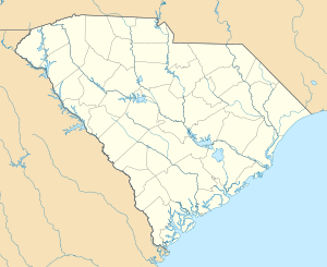  | |
| Location | Riverland Dr., James Island, Charleston, South Carolina |
|---|---|
| Coordinates | 32°42′50″N 79°59′7″W / 32.71389°N 79.98528°WCoordinates: 32°42′50″N 79°59′7″W / 32.71389°N 79.98528°W |
| Area | 4 acres (1.6 ha) |
| Built | 1863 |
| MPS | Civil War Defenses of Charleston TR |
| NRHP Reference # | 82004790[1] |
| Added to NRHP | August 11, 1982 |
Fort Pringle is a historic artillery battery located at James Island, Charleston, South Carolina. It was built in 1863, as part of the James Island Siege Line and protect the Stono River, Johns Island and lower James Island. At the close of the war it was armed with nine heavy cannons. The earthen redoubt's river face measures approximately 360 feet, the right or upstream face 160 feet, the left or downstream face 400 feet, and the rear face approximately 520 feet in length. It has a 7.5 to 12.5 foot high parapet wall and 12.5 feet tall powder magazine.[2][3]
It was listed on the National Register of Historic Places in 1982.[1]
References
- 1 2 National Park Service (2010-07-09). "National Register Information System". National Register of Historic Places. National Park Service.
- ↑ unknown (n.d.). "Fort Pringle" (pdf). National Register of Historic Places - Nomination and Inventory. Retrieved June 2014. Check date values in:
|access-date=(help) - ↑ "Pringle, Charleston County (overlooking Stono River, James Island)". National Register Properties in South Carolina. South Carolina Department of Archives and History. Retrieved 2014-08-01.
| Topics |  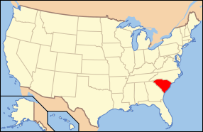 | |
|---|---|---|
| Lists by county |
| |
| Lists by city | ||
| Other lists | ||
This article is issued from Wikipedia - version of the 11/30/2016. The text is available under the Creative Commons Attribution/Share Alike but additional terms may apply for the media files.