Raipura Upazila
Not to be confused with Raipur Upazila in Lakshmipur District
| Raipura রায়পুরা | |
|---|---|
| Upazila | |
|
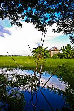
A village on Meghna River in Raipura | |
 Raipura Location in Bangladesh | |
| Coordinates: 23°58′N 90°52.5′E / 23.967°N 90.8750°ECoordinates: 23°58′N 90°52.5′E / 23.967°N 90.8750°E | |
| Country |
|
| Division | Dhaka Division |
| District | Narsingdi District |
| Area | |
| • Total | 312.77 km2 (120.76 sq mi) |
| Population (1991) | |
| • Total | 413,766 |
| • Density | 1,300/km2 (3,400/sq mi) |
| Time zone | BST (UTC+6) |
| Website | Official Map of Raipura |
Raipura (Bengali: রায়পুরা) is an Upazila of Narsingdi District[1] in the Division of Dhaka, Bangladesh.
Geography
Raipura is located at 23°58′00″N 90°52′30″E / 23.9667°N 90.8750°E. It has 76508 households and total area of 312.77 square kilometres (120.76 sq mi).
Demographics
At the 1991 census Raipura had a population of 413,766, of which 204,212 were aged 18 or older. Males constituted 51.58% of the population, and females 48.42%. Raipura had an average literacy rate of 22.5% (7+ years), against the national average of 32.4%.[2]
Administration
Raipura has 24 Unions/Wards, 114 Mauzas/Mahallas, and 231 villages.
See also
References
- ↑ Sarkar, Md. Ahiduzzaman (2012). "Raipura Upazila". In Islam, Sirajul; Jamal, Ahmed A. Banglapedia: National Encyclopedia of Bangladesh (Second ed.). Asiatic Society of Bangladesh.
- ↑ "Population Census Wing, BBS.". Archived from the original on 2005-03-27. Retrieved November 10, 2006.

This article is issued from Wikipedia - version of the 11/10/2016. The text is available under the Creative Commons Attribution/Share Alike but additional terms may apply for the media files.