Air Force Island
 Air Force Island, Nunavut | |
 Air Force Island | |
| Geography | |
|---|---|
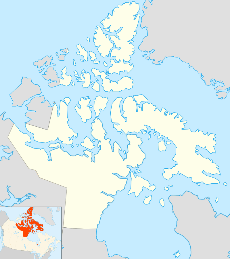
| Location | Foxe Basin |
| Coordinates | 67°58′N 74°05′W / 67.967°N 74.083°WCoordinates: 67°58′N 74°05′W / 67.967°N 74.083°W |
| Archipelago | Canadian Arctic Archipelago |
| Area | 1,720 km2 (660 sq mi) |
| Administration | |
| Territory | Nunavut |
| Region | Qikiqtaaluk |
| Demographics | |
| Population | Uninhabited |
Air Force Island is an uninhabited island in the Qikiqtaaluk Region of Nunavut, Canada. It is located along the southwestern coast of Baffin Island and measures 1,720 km2 (660 sq mi) in size.
The first written record of the island's existence was in 1948, as were neighbouring Prince Charles Island and Foley Island, by a Royal Canadian Air Force (RCAF) crew member, Albert-Ernest Tomkinson, navigating an Avro Lancaster. The island was named in recognition of the RCAF’s role in surveying the Canadian Arctic Archipelago.
References
This article is issued from Wikipedia - version of the 11/28/2016. The text is available under the Creative Commons Attribution/Share Alike but additional terms may apply for the media files.