Aulitivik Island
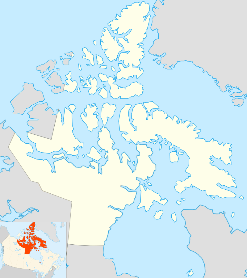 Aulitivik Island Location in Nunavut | |
| Geography | |
|---|---|
| Location | Northern Canada |
| Coordinates | 69°36′N 068°00′W / 69.600°N 68.000°WCoordinates: 69°36′N 068°00′W / 69.600°N 68.000°W |
| Archipelago | Canadian Arctic Archipelago |
| Area | 209 km2 (81 sq mi) |
| Administration | |
|
Canada | |
| Territory | Nunavut |
| Region | Qikiqtaaluk |
| Demographics | |
| Population | Uninhabited |
Aulitivik Island is an uninhabited island located in the Qikiqtaaluk Region of Nunavut, Canada. It is located in Baffin Bay's Isabella Bay by the Davis Strait. Situated north of Baffin Island's Henry Kater Peninsula, it is a member of the Canadian Arctic Archipelago. Aulitiving Island is 19.5 km (12.1 mi) to the east, with tiny Bearslide Island lying between them.[1]
Geography
It has an area of 209 km2 (81 sq mi).[2]
References
- ↑ "Aulitivik Island". travelingluck.com. Retrieved 2009-06-18.
- ↑ Aulitivik Island at Atlas of Canada
External links
- Aulitivik Island in the Atlas of Canada - Toporama; Natural Resources Canada
This article is issued from Wikipedia - version of the 11/27/2016. The text is available under the Creative Commons Attribution/Share Alike but additional terms may apply for the media files.