Amherst Island (Nunavut)
| Native name: <span class="nickname" ">Saglarjuk | |
|---|---|
 Amherst Island | |
| Geography | |
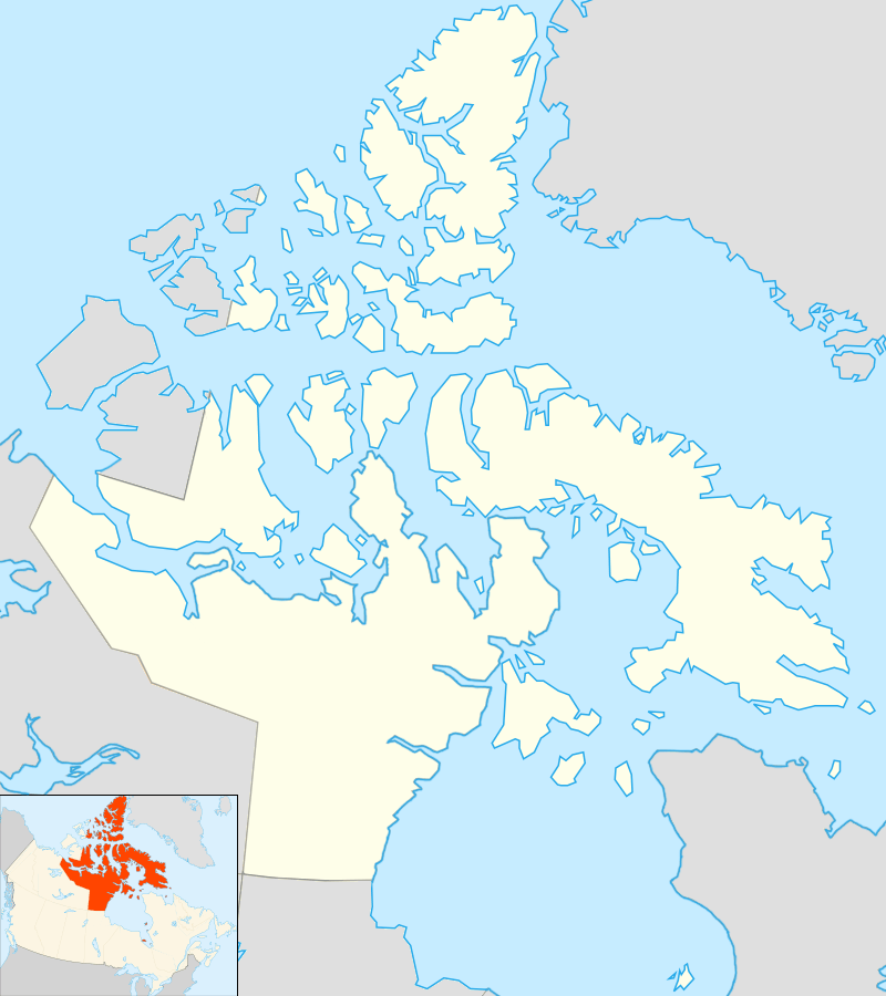
| Location | Northern Canada |
| Coordinates | 69°47′10″N 083°45′50″W / 69.78611°N 83.76389°WCoordinates: 69°47′10″N 083°45′50″W / 69.78611°N 83.76389°W |
| Archipelago | Canadian Arctic Archipelago |
| Administration | |
|
Canada | |
| Territory | Nunavut |
| Region | Qikiqtaaluk |
| Demographics | |
| Population | Uninhabited |
Amherst Island (Inuktitut: Saglarjuk)[1] is one of several uninhabited, irregularly shaped islands located on the south side of the Fury and Hecla Strait of Nunavut's Qikiqtaaluk Region within the northern Canadian Arctic. It is west of Liddon Island, north of Grinnell Lake on the mainland's Melville Peninsula, and south of Baffin Island.
The island is named for Jeffery Amherst, 1st Baron Amherst.
References
- ↑ Aporta, Claudio (December 2003). "New Ways of Mapping:" (PDF). Arctic. 56 (4): 325. doi:10.14430/arctic629. Archived from the original on 2016-03-03.
External links
- Amherst Island in the Atlas of Canada - Toporama; Natural Resources Canada
This article is issued from Wikipedia - version of the 11/10/2016. The text is available under the Creative Commons Attribution/Share Alike but additional terms may apply for the media files.