Lumio
Not to be confused with Loomio.
| Lumio | |
|---|---|
|
The buildings surrounding the bell tower in Lumio | |
 Lumio | |
|
Location within Corsica region 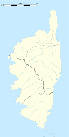 Lumio | |
| Coordinates: 42°34′46″N 8°50′02″E / 42.5794°N 8.8339°ECoordinates: 42°34′46″N 8°50′02″E / 42.5794°N 8.8339°E | |
| Country | France |
| Region | Corsica |
| Department | Haute-Corse |
| Arrondissement | Calvi |
| Canton | Calvi |
| Intercommunality | Calvi Balagne |
| Government | |
| • Mayor (2008–2014) | Eugène Ceccaldi |
| Area1 | 19.18 km2 (7.41 sq mi) |
| Population (2008)2 | 1,180 |
| • Density | 62/km2 (160/sq mi) |
| Time zone | CET (UTC+1) |
| • Summer (DST) | CEST (UTC+2) |
| INSEE/Postal code | 2B150 / 20260 |
| Elevation |
0–561 m (0–1,841 ft) (avg. 200 m or 660 ft) |
|
1 French Land Register data, which excludes lakes, ponds, glaciers > 1 km² (0.386 sq mi or 247 acres) and river estuaries. 2 Population without double counting: residents of multiple communes (e.g., students and military personnel) only counted once. | |

Lumio is a commune in the Haute-Corse department of France on the island of Corsica.
Population
| Historical population | ||
|---|---|---|
| Year | Pop. | ±% |
| 1962 | 292 | — |
| 1968 | 473 | +62.0% |
| 1975 | 732 | +54.8% |
| 1982 | 747 | +2.0% |
| 1990 | 895 | +19.8% |
| 1999 | 1,040 | +16.2% |
| 2008 | 1,180 | +13.5% |
See also
References
| Wikimedia Commons has media related to Lumio. |
This article is issued from Wikipedia - version of the 6/9/2016. The text is available under the Creative Commons Attribution/Share Alike but additional terms may apply for the media files.