Pianello
| Pianello | |
|---|---|
 Pianello | |
|
Location within Corsica region 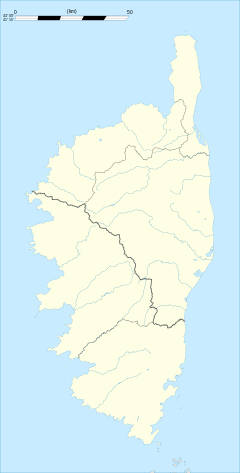 Pianello | |
| Coordinates: 42°17′26″N 9°21′39″E / 42.2906°N 9.3608°ECoordinates: 42°17′26″N 9°21′39″E / 42.2906°N 9.3608°E | |
| Country | France |
| Region | Corsica |
| Department | Haute-Corse |
| Arrondissement | Corte |
| Canton | Moïta-Verde |
| Government | |
| • Mayor (2008–2014) | Marius Poletti |
| Area1 | 16.73 km2 (6.46 sq mi) |
| Population (2008)2 | 77 |
| • Density | 4.6/km2 (12/sq mi) |
| Time zone | CET (UTC+1) |
| • Summer (DST) | CEST (UTC+2) |
| INSEE/Postal code | 2B213 / 20272 |
| Elevation |
427–1,724 m (1,401–5,656 ft) (avg. 811 m or 2,661 ft) |
|
1 French Land Register data, which excludes lakes, ponds, glaciers > 1 km² (0.386 sq mi or 247 acres) and river estuaries. 2 Population without double counting: residents of multiple communes (e.g., students and military personnel) only counted once. | |
Pianello (in Corsican U Pianellu, pronounced [u byɑ̃.ˈneː.lːu]) is a commune in the Haute-Corse department of France on the island of Corsica. The village is in the la Serra area, south east of Castagniccia.
Population
| Historical population | ||
|---|---|---|
| Year | Pop. | ±% |
| 1962 | 71 | — |
| 1968 | 97 | +36.6% |
| 1975 | 86 | −11.3% |
| 1982 | 72 | −16.3% |
| 1990 | 83 | +15.3% |
| 1999 | 76 | −8.4% |
| 2008 | 77 | +1.3% |
See also
References
| Wikimedia Commons has media related to Pianello. |
This article is issued from Wikipedia - version of the 2/11/2016. The text is available under the Creative Commons Attribution/Share Alike but additional terms may apply for the media files.