Corbara, Haute-Corse
| Corbara | ||
|---|---|---|
|
The Pietralta neighbourhood, in Corbara | ||
| ||
 Corbara | ||
|
Location within Corsica region 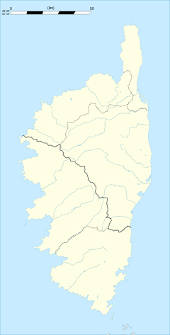 Corbara | ||
| Coordinates: 42°36′55″N 8°54′26″E / 42.6153°N 8.9072°ECoordinates: 42°36′55″N 8°54′26″E / 42.6153°N 8.9072°E | ||
| Country | France | |
| Region | Corsica | |
| Department | Haute-Corse | |
| Arrondissement | Calvi | |
| Canton | L'Île-Rousse | |
| Intercommunality | Bassin de vie de l'Île-Rousse | |
| Government | ||
| • Mayor (2008–2014) | Paul Lions | |
| Area1 | 10.19 km2 (3.93 sq mi) | |
| Population (2008)2 | 923 | |
| • Density | 91/km2 (230/sq mi) | |
| Time zone | CET (UTC+1) | |
| • Summer (DST) | CEST (UTC+2) | |
| INSEE/Postal code | 2B093 / 20256 | |
| Elevation |
0–561 m (0–1,841 ft) (avg. 170 m or 560 ft) | |
|
1 French Land Register data, which excludes lakes, ponds, glaciers > 1 km² (0.386 sq mi or 247 acres) and river estuaries. 2 Population without double counting: residents of multiple communes (e.g., students and military personnel) only counted once. | ||

.svg.png)
Corbara is a commune in the Haute-Corse department of France on the island of Corsica.
Population
| Historical population | ||
|---|---|---|
| Year | Pop. | ±% |
| 1962 | 314 | — |
| 1968 | 355 | +13.1% |
| 1975 | 366 | +3.1% |
| 1982 | 510 | +39.3% |
| 1990 | 583 | +14.3% |
| 1999 | 706 | +21.1% |
| 2008 | 923 | +30.7% |
See also
References
| Wikimedia Commons has media related to Corbara. |
This article is issued from Wikipedia - version of the 2/11/2016. The text is available under the Creative Commons Attribution/Share Alike but additional terms may apply for the media files.