Santo-Pietro-di-Venaco
| Santo-Pietro-di-Venaco | |
|---|---|
|
| |
 Santo-Pietro-di-Venaco | |
|
Location within Corsica region 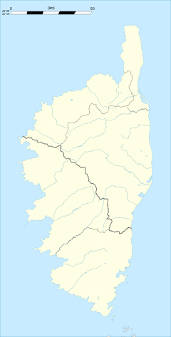 Santo-Pietro-di-Venaco | |
| Coordinates: 42°14′47″N 9°10′20″E / 42.2464°N 9.1722°ECoordinates: 42°14′47″N 9°10′20″E / 42.2464°N 9.1722°E | |
| Country | France |
| Region | Corsica |
| Department | Haute-Corse |
| Arrondissement | Corte |
| Canton | Venaco |
| Intercommunality | Centre Corse |
| Government | |
| • Mayor (2008–2014) | Augustin Viola |
| Area1 | 7.96 km2 (3.07 sq mi) |
| Population (2008)2 | 217 |
| • Density | 27/km2 (71/sq mi) |
| Time zone | CET (UTC+1) |
| • Summer (DST) | CEST (UTC+2) |
| INSEE/Postal code | 2B315 / 20250 |
| Elevation |
217–2,400 m (712–7,874 ft) (avg. 860 m or 2,820 ft) |
|
1 French Land Register data, which excludes lakes, ponds, glaciers > 1 km² (0.386 sq mi or 247 acres) and river estuaries. 2 Population without double counting: residents of multiple communes (e.g., students and military personnel) only counted once. | |

Santo-Pietro-di-Venaco is a commune in the Haute-Corse department of France on the island of Corsica.
Population
| Historical population | ||
|---|---|---|
| Year | Pop. | ±% |
| 1962 | 103 | — |
| 1968 | 165 | +60.2% |
| 1975 | 126 | −23.6% |
| 1982 | 168 | +33.3% |
| 1990 | 166 | −1.2% |
| 1999 | 198 | +19.3% |
| 2008 | 217 | +9.6% |
See also
References
| Wikimedia Commons has media related to Santo-Pietro-di-Venaco. |
This article is issued from Wikipedia - version of the 3/15/2016. The text is available under the Creative Commons Attribution/Share Alike but additional terms may apply for the media files.