Murato, Haute-Corse
| Murato | ||
|---|---|---|
|
San Michele church | ||
| ||
 Murato | ||
|
Location within Corsica region 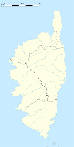 Murato | ||
| Coordinates: 42°34′41″N 9°19′36″E / 42.5781°N 9.3267°ECoordinates: 42°34′41″N 9°19′36″E / 42.5781°N 9.3267°E | ||
| Country | France | |
| Region | Corsica | |
| Department | Haute-Corse | |
| Arrondissement | Calvi | |
| Canton | Haut-Nebbio | |
| Intercommunality | Nebbiu | |
| Government | ||
| • Mayor (2008–2014) | Ferdinand Ugolini | |
| Area1 | 20.38 km2 (7.87 sq mi) | |
| Population (2008)2 | 599 | |
| • Density | 29/km2 (76/sq mi) | |
| Time zone | CET (UTC+1) | |
| • Summer (DST) | CEST (UTC+2) | |
| INSEE/Postal code | 2B172 / 20239 | |
| Elevation |
239–1,112 m (784–3,648 ft) (avg. 497 m or 1,631 ft) | |
|
1 French Land Register data, which excludes lakes, ponds, glaciers > 1 km² (0.386 sq mi or 247 acres) and river estuaries. 2 Population without double counting: residents of multiple communes (e.g., students and military personnel) only counted once. | ||

.svg.png)
Murato is a commune in the Haute-Corse department of France on the island of Corsica.
Population
| Historical population | ||
|---|---|---|
| Year | Pop. | ±% |
| 1954 | 1,012 | — |
| 1962 | 534 | −47.2% |
| 1968 | 538 | +0.7% |
| 1975 | 538 | +0.0% |
| 1982 | 533 | −0.9% |
| 1990 | 565 | +6.0% |
| 1999 | 555 | −1.8% |
| 2008 | 599 | +7.9% |
See also
References
| Wikimedia Commons has media related to Murato. |
This article is issued from Wikipedia - version of the 4/28/2016. The text is available under the Creative Commons Attribution/Share Alike but additional terms may apply for the media files.