Sant'Andréa-di-Cotone
| Sant'Andréa-di-Cotone | |
|---|---|
 Sant'Andréa-di-Cotone | |
|
Location within Corsica region 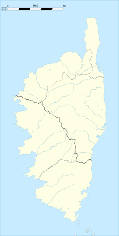 Sant'Andréa-di-Cotone | |
| Coordinates: 42°18′51″N 9°28′48″E / 42.3142°N 9.48°ECoordinates: 42°18′51″N 9°28′48″E / 42.3142°N 9.48°E | |
| Country | France |
| Region | Corsica |
| Department | Haute-Corse |
| Arrondissement | Corte |
| Canton | Campoloro-di-Moriani |
| Intercommunality | Costa Verde |
| Government | |
| • Mayor (2008–2014) | Dominique Domarchi |
| Area1 | 8.91 km2 (3.44 sq mi) |
| Population (2008)2 | 229 |
| • Density | 26/km2 (67/sq mi) |
| Time zone | CET (UTC+1) |
| • Summer (DST) | CEST (UTC+2) |
| INSEE/Postal code | 2B293 / 20221 |
| Elevation |
56–1,046 m (184–3,432 ft) (avg. 480 m or 1,570 ft) |
|
1 French Land Register data, which excludes lakes, ponds, glaciers > 1 km² (0.386 sq mi or 247 acres) and river estuaries. 2 Population without double counting: residents of multiple communes (e.g., students and military personnel) only counted once. | |
Sant'Andréa-di-Cotone is a commune in the Haute-Corse department of France on the island of Corsica.
Population
| Historical population | ||
|---|---|---|
| Year | Pop. | ±% |
| 1962 | 154 | — |
| 1968 | 209 | +35.7% |
| 1975 | 160 | −23.4% |
| 1982 | 127 | −20.6% |
| 1990 | 182 | +43.3% |
| 1999 | 167 | −8.2% |
| 2008 | 229 | +37.1% |
See also
References
| Wikimedia Commons has media related to Sant'Andréa-di-Cotone. |
This article is issued from Wikipedia - version of the 4/28/2016. The text is available under the Creative Commons Attribution/Share Alike but additional terms may apply for the media files.