Natchez District
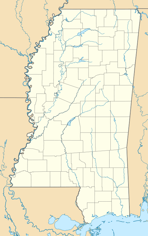
The Natchez District was one of two areas, the other being the Tombigbee District, that were the first to be colonized by British subjects from the Thirteen Colonies and elsewhere in what was West Florida and would later become the Mississippi Territory. The district was recognized to be the area east of the Mississippi River from Bayou Sara in the south (presently St. Francisville, Louisiana) and Bayou Pierre in the north (presently Port Gibson, Mississippi). Today, this area corresponds roughly with and includes most of the lands south of Interstate 20 and west of Interstate 55 in the state of Mississippi, in the southwest corner of the state.
The riverfront areas of the Natchez District were developed as the first plantation areas in Mississippi. These plantations made up the wealthiest area in the antebellum South. Planter Stephen Duncan (1787-1867) was reported to have owned more than 1,000 slaves, making him the richest cotton planter in the world at the time.
History
Origins
Prior to its development in the late 18th Century, the Natchez District had been known to the Europeans for many years. The French explorer Pierre Le Moyne d'Iberville had passed through the area in 1699 and had christened both the Amité and the Tangipahoa rivers. In the early 18th century, French colonists began to introduce African slaves and the plantation system to the area. The first important plantation crop was tobacco.
In 1774, Britain extended the borders of its West Florida colony (gained after the Seven Years' War) from the 31st parallel north to 32° 22′ north, in part to give colonists access to the fertile Natchez District and the Tombigbee District. By 1776, a sizable colony of English-speaking planters had settled there.
After the American Revolutionary War, via a treaty with Spain (which had regained West Florida from Britain), the new nation of the United States acquired the Natchez District. The area was of great strategic value; it was the extreme western and southern limit of the territory claimed by the U.S. in 1798. In April of that year, the U.S. created the Mississippi Territory, with Natchez as its first capital.
Cotton boom
Eli Whitney’s development of the cotton gin in the late 18th century contributed to the development of this area and much of the antebellum South. It enabled cultivation of short-staple cotton, and reduced the labor of processing it. Planters in the Natchez District became very wealthy by converting their tobacco plantations to cotton, for which there was a large market between 1785 and 1800. The rich loess soils proved very fertile for cotton cultivation. The planters developed new, more productive strains of cotton, improved cotton gins, and developed a large-scale system dependent upon both machinery and large numbers of slaves.[1]
Their model was expanded in the antebellum South, creating such a demand for slaves that more than one million were transported from the Upper South in the domestic slave trade. They were brought overland, by riverboat, and by ocean-going ships to New Orleans. This forced migration broke up families and transplanted a large new population to the area. The Deep South became a strong center of African American culture.
Many cotton planters became so wealthy that they acquired thousands of acres and hundreds of African American slaves to work the lands. They built elegant mansions in and around the town of Natchez, and they hired overseers to manage their plantations in the countryside.
In 1806, an improved Mexican variety of cotton made the commodity crop even more profitable. The Mexican variety was crossed with the older black-seeded species to make improved varieties that made the state of Mississippi famous. The most noted cotton varieties (Belle Creole, Jethro, Parker, and Petit Gulf) were bred in Mississippi.
The cotton boom of the early 19th century spread across the South from two primary cultural hearths: coastal South Carolina and the Natchez District. Cotton plantations were developed throughout the Southeast. In the Carolinas, Georgia and Alabama, the cotton-growing areas became known as the Black Belt. From Natchez, the cotton plantation system spread north into the Mississippi embayment region, and west along the rivers of Louisiana, Arkansas, and Texas. In the antebellum years, nearly all plantations were developed with frontage on a river, for transportation.[2]
Before the Louisiana Purchase, Natchez was the only town in the region that was under American control. Because of the city's strategic importance and its rapid growth as a cotton port, the U.S. government built or improved the roads leading to Natchez. The U.S. Army widened the Natchez Trace (which connected the region to Nashville, Tennessee), in order to accommodate wagons. It was placed under the care of the Postmaster General of the United States, making it one of the earliest national highways.
Footnotes
- ↑ Moore, John Hebron (1988). The emergence of the Cotton Kingdom in the Old Southwest: Mississippi, 1770-1860. LSU Press. pp. 4–13, 117, 286–287. ISBN 978-0-8071-1404-9. Retrieved 23 March 2011.
- ↑ Meinig, D.W. (1993). The Shaping of America: A Geographical Perspective on 500 Years of History, Volume 2: Continental America, 1800-1867. Yale University Press. pp. 286–288. ISBN 0-300-05658-3.
Further reading
- Aaron D. Anderson, Builders of a New South: Merchants, Capital, and the Remaking of Natchez, 1865-1914. Jackson, MS: University Press of Mississippi, 2013.
External links
.svg.png)
Coordinates: 31°30′56″N 91°10′11″W / 31.51556°N 91.16972°W