Haut-de-Bosdarros
| Haut-de-Bosdarros | |
|---|---|
|
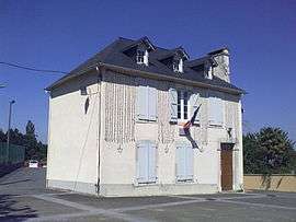
Town Hall of Haut-de-Bosdarros | |
 Haut-de-Bosdarros | |
|
Location within Nouvelle-Aquitaine region  Haut-de-Bosdarros | |
| Coordinates: 43°10′21″N 0°19′50″W / 43.1725°N 0.3306°WCoordinates: 43°10′21″N 0°19′50″W / 43.1725°N 0.3306°W | |
| Country | France |
| Region | Nouvelle-Aquitaine |
| Department | Pyrénées-Atlantiques |
| Arrondissement | Pau |
| Canton | Nay-Ouest |
| Intercommunality | Communauté de communes de la Vath Vielha |
| Government | |
| • Mayor (2008–2014) | Jean Arriubergé |
| Area1 | 12.31 km2 (4.75 sq mi) |
| Population (2006)2 | 257 |
| • Density | 21/km2 (54/sq mi) |
| Time zone | CET (UTC+1) |
| • Summer (DST) | CEST (UTC+2) |
| INSEE/Postal code | 64257 / 64800 |
| Elevation |
251–445 m (823–1,460 ft) (avg. 262 m or 860 ft) |
|
1 French Land Register data, which excludes lakes, ponds, glaciers > 1 km² (0.386 sq mi or 247 acres) and river estuaries. 2 Population without double counting: residents of multiple communes (e.g., students and military personnel) only counted once. | |
Haut-de-Bosdarros is a commune in the Pyrénées-Atlantiques department in south-western France.
See also
References
| Wikimedia Commons has media related to Haut-de-Bosdarros. |
This article is issued from Wikipedia - version of the 11/17/2014. The text is available under the Creative Commons Attribution/Share Alike but additional terms may apply for the media files.