Gimouille
| Gimouille | |
|---|---|
|
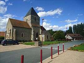
The church in Gimouille | |
 Gimouille | |
|
Location within Bourgogne-Franche-Comté region  Gimouille | |
| Coordinates: 46°56′38″N 3°05′09″E / 46.9439°N 3.0858°ECoordinates: 46°56′38″N 3°05′09″E / 46.9439°N 3.0858°E | |
| Country | France |
| Region | Bourgogne-Franche-Comté |
| Department | Nièvre |
| Arrondissement | Nevers |
| Canton | Imphy |
| Intercommunality | Loire et Allier |
| Government | |
| • Mayor (2008–2014) | Bernard Nicolas |
| Area1 | 14.26 km2 (5.51 sq mi) |
| Population (1999)2 | 512 |
| • Density | 36/km2 (93/sq mi) |
| Time zone | CET (UTC+1) |
| • Summer (DST) | CEST (UTC+2) |
| INSEE/Postal code | 58126 / 58470 |
| Elevation | 166–272 m (545–892 ft) |
|
1 French Land Register data, which excludes lakes, ponds, glaciers > 1 km² (0.386 sq mi or 247 acres) and river estuaries. 2 Population without double counting: residents of multiple communes (e.g., students and military personnel) only counted once. | |
Gimouille is a commune in the Nièvre department in central France.
Demographics
At the 1999 census, the population was 512. On 1 January 2006, the estimate was 487.
See also
References
| Wikimedia Commons has media related to Gimouille. |
This article is issued from Wikipedia - version of the 2/11/2016. The text is available under the Creative Commons Attribution/Share Alike but additional terms may apply for the media files.