Aspiran
For the French wine grape, see Aspiran (grape).
| Aspiran | ||
|---|---|---|
|
The church of Saint-Julien | ||
| ||
 Aspiran | ||
|
Location within Occitanie region  Aspiran | ||
| Coordinates: 43°34′N 3°27′E / 43.56°N 3.45°ECoordinates: 43°34′N 3°27′E / 43.56°N 3.45°E | ||
| Country | France | |
| Region | Occitanie | |
| Department | Hérault | |
| Arrondissement | Lodève | |
| Canton | Clermont-l'Hérault | |
| Intercommunality | Clermontais | |
| Government | ||
| • Mayor (2008–2014) | Jean-Noël Satger | |
| Area1 | 16.13 km2 (6.23 sq mi) | |
| Population (2008)2 | 1,280 | |
| • Density | 79/km2 (210/sq mi) | |
| Time zone | CET (UTC+1) | |
| • Summer (DST) | CEST (UTC+2) | |
| INSEE/Postal code | 34013 / 34800 | |
| Elevation |
17–160 m (56–525 ft) (avg. 79 m or 259 ft) | |
|
1 French Land Register data, which excludes lakes, ponds, glaciers > 1 km² (0.386 sq mi or 247 acres) and river estuaries. 2 Population without double counting: residents of multiple communes (e.g., students and military personnel) only counted once. | ||

.svg.png)
Aspiran is a commune in the Hérault department in southern France.
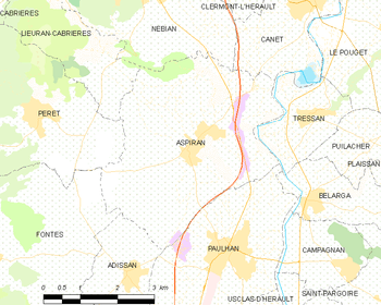
Map
Population
| Historical population | ||
|---|---|---|
| Year | Pop. | ±% |
| 1962 | 1,158 | — |
| 1968 | 1,194 | +3.1% |
| 1975 | 1,023 | −14.3% |
| 1982 | 1,031 | +0.8% |
| 1990 | 1,072 | +4.0% |
| 1999 | 1,167 | +8.9% |
| 2008 | 1,280 | +9.7% |
See also
References
| Wikimedia Commons has media related to Aspiran. |
This article is issued from Wikipedia - version of the 6/24/2015. The text is available under the Creative Commons Attribution/Share Alike but additional terms may apply for the media files.