Montels, Hérault
| Montels | ||
|---|---|---|
| ||
 Montels | ||
|
Location within Occitanie region  Montels | ||
| Coordinates: 43°17′44″N 3°01′51″E / 43.2956°N 3.0308°ECoordinates: 43°17′44″N 3°01′51″E / 43.2956°N 3.0308°E | ||
| Country | France | |
| Region | Occitanie | |
| Department | Hérault | |
| Arrondissement | Béziers | |
| Canton | Capestang | |
| Intercommunality | Canal Lirou | |
| Government | ||
| • Mayor (2008–2014) | André Frances | |
| Area1 | 7.3 km2 (2.8 sq mi) | |
| Population (2008)2 | 230 | |
| • Density | 32/km2 (82/sq mi) | |
| Time zone | CET (UTC+1) | |
| • Summer (DST) | CEST (UTC+2) | |
| INSEE/Postal code | 34167 / 34310 | |
| Elevation |
0–24 m (0–79 ft) (avg. 11 m or 36 ft) | |
|
1 French Land Register data, which excludes lakes, ponds, glaciers > 1 km² (0.386 sq mi or 247 acres) and river estuaries. 2 Population without double counting: residents of multiple communes (e.g., students and military personnel) only counted once. | ||
.svg.png)
Montels is a commune in the Hérault department in the Occitanie region in southern France.
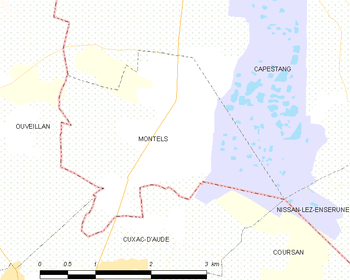
Map
Population
| Historical population | ||
|---|---|---|
| Year | Pop. | ±% |
| 1962 | 133 | — |
| 1968 | 140 | +5.3% |
| 1975 | 127 | −9.3% |
| 1982 | 123 | −3.1% |
| 1990 | 134 | +8.9% |
| 1999 | 168 | +25.4% |
| 2008 | 230 | +36.9% |
See also
References
| Wikimedia Commons has media related to Montels (Hérault). |
This article is issued from Wikipedia - version of the 11/12/2016. The text is available under the Creative Commons Attribution/Share Alike but additional terms may apply for the media files.