Ferrières-Poussarou
| Ferrières-Poussarou | |
|---|---|
|
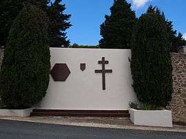
Monument to the Maquis la Tourette at Ferrières-Poussarou | |
 Ferrières-Poussarou | |
|
Location within Occitanie region  Ferrières-Poussarou | |
| Coordinates: 43°29′09″N 2°53′33″E / 43.4858°N 2.8925°ECoordinates: 43°29′09″N 2°53′33″E / 43.4858°N 2.8925°E | |
| Country | France |
| Region | Occitanie |
| Department | Hérault |
| Arrondissement | Béziers |
| Canton | Olargues |
| Intercommunality | Orb et Jaur |
| Government | |
| • Mayor (2008–2014) | Francis Tarbouriech |
| Area1 | 26.01 km2 (10.04 sq mi) |
| Population (2008)2 | 59 |
| • Density | 2.3/km2 (5.9/sq mi) |
| Time zone | CET (UTC+1) |
| • Summer (DST) | CEST (UTC+2) |
| INSEE/Postal code | 34100 / 34360 |
| Elevation |
203–728 m (666–2,388 ft) (avg. 529 m or 1,736 ft) |
|
1 French Land Register data, which excludes lakes, ponds, glaciers > 1 km² (0.386 sq mi or 247 acres) and river estuaries. 2 Population without double counting: residents of multiple communes (e.g., students and military personnel) only counted once. | |
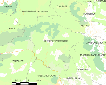
Ferrières-Poussarou is a commune in the Hérault department in southern France.
Map
Population
| Historical population | ||
|---|---|---|
| Year | Pop. | ±% |
| 1962 | 32 | — |
| 1968 | 40 | +25.0% |
| 1975 | 38 | −5.0% |
| 1982 | 35 | −7.9% |
| 1990 | 40 | +14.3% |
| 1999 | 49 | +22.5% |
| 2008 | 59 | +20.4% |
See also
References
| Wikimedia Commons has media related to Ferrières-Poussarou. |
This article is issued from Wikipedia - version of the 6/24/2015. The text is available under the Creative Commons Attribution/Share Alike but additional terms may apply for the media files.