Cazilhac, Hérault
| Cazilhac | ||
|---|---|---|
|
The church in Cazilhac | ||
| ||
 Cazilhac | ||
|
Location within Occitanie region  Cazilhac | ||
| Coordinates: 43°55′28″N 3°42′09″E / 43.9244°N 3.7025°ECoordinates: 43°55′28″N 3°42′09″E / 43.9244°N 3.7025°E | ||
| Country | France | |
| Region | Occitanie | |
| Department | Hérault | |
| Arrondissement | Lodève | |
| Canton | Ganges | |
| Intercommunality | Cévennes Gangeoises et Suménoises | |
| Government | ||
| • Mayor (2008–2014) | Pierre Servier | |
| Area1 | 11.69 km2 (4.51 sq mi) | |
| Population (2008)2 | 1,263 | |
| • Density | 110/km2 (280/sq mi) | |
| Time zone | CET (UTC+1) | |
| • Summer (DST) | CEST (UTC+2) | |
| INSEE/Postal code | 34067 / 34190 | |
| Elevation |
132–523 m (433–1,716 ft) (avg. 166 m or 545 ft) | |
|
1 French Land Register data, which excludes lakes, ponds, glaciers > 1 km² (0.386 sq mi or 247 acres) and river estuaries. 2 Population without double counting: residents of multiple communes (e.g., students and military personnel) only counted once. | ||
_Eglise.jpg)
.svg.png)
Cazilhac is a commune in the Hérault department in southern France.
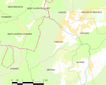
Map
Population
| Historical population | ||
|---|---|---|
| Year | Pop. | ±% |
| 1962 | 746 | — |
| 1968 | 857 | +14.9% |
| 1975 | 840 | −2.0% |
| 1982 | 915 | +8.9% |
| 1990 | 1,004 | +9.7% |
| 1999 | 1,161 | +15.6% |
| 2008 | 1,263 | +8.8% |
See also
References
| Wikimedia Commons has media related to Cazilhac (Hérault). |
This article is issued from Wikipedia - version of the 3/15/2016. The text is available under the Creative Commons Attribution/Share Alike but additional terms may apply for the media files.